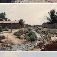
Aratuba, Municipality in Ceará, Brazil
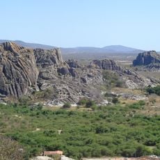
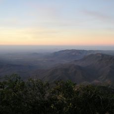
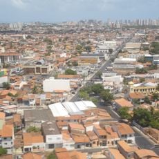
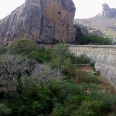
Aratuba is a municipality in Ceará state in northeastern Brazil, situated at 874 meters elevation with mild temperatures year-round. The town connects to surrounding areas through highways CE-060 and CE-065, which link it to the state capital and neighboring regions.
The area developed from a small settlement called Coité and received its current name along with official municipality status on March 25, 1943. This transformation marked an important moment in the development of the local administrative structure.
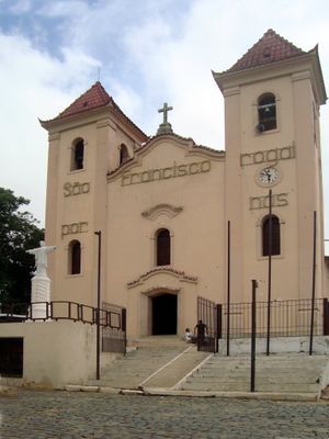
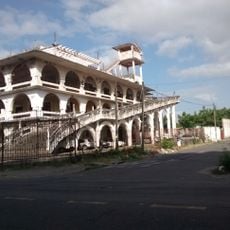
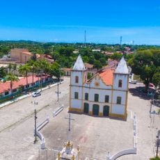
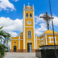
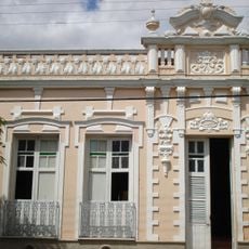
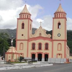
The Igreja Matriz São Francisco de Paula serves as the religious center where local people gather for traditional celebrations and ceremonies. This church shapes community life and remains central to local customs and gatherings.
The town is easily accessible via highways CE-060 and CE-065 and offers good road connections to nearby areas. The elevated location provides pleasant weather conditions and reduces extreme temperature swings.
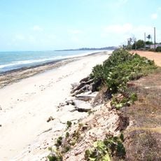
The name comes from an indigenous language and means 'abundance of birds', reflecting the natural bird diversity of this elevated region. This meaning connects the location's history with the wildlife that shapes the area.
Location: Ceará
Elevation above the sea: 874 m
Shares border with: Canindé, Capistrano, Caridade, Itapiúna, Mulungu
Website: https://aratuba.ce.gov.br
GPS coordinates: -4.41778,-39.04500
Latest update: December 8, 2025 13:42
Castelão
89.4 km
Estatua de San Francisco de Asís
29.4 km
Museu Senzala Negro Liberto
41.8 km
Casa do Português
91.7 km
Casa de José de Alencar
92.3 km
Icaraí beach
91.4 km
Parque del Sol
91.2 km
Pico da Rajada
68.3 km
Mother Church of São José de Ribamar
92.6 km
Quixadá Monoliths Natural Monument
60.6 km
Praia de Iparana
92.9 km
Igreja Matriz Nossa Senhora dos Prazeres
87.5 km
Pico Alto
24.6 km
Museu da Cachaça
67.7 km
Pedra da Galinha Choca
63.4 km
Museu Histórico Jacinto de Sousa
61.2 km
Stade Francisco Clenilson dos Santos
72.1 km
Solar dos Sampaios
37.3 km
Montese
91.1 km
Parque Ecológico da Lagoa da Maraponga
87.5 km
Conjunto Palmeiras
85.7 km
Cedro's Dam
62.4 km
Centerplex Gran Shopping Messejana
90.1 km
Igreja Matriz de Baturité
20.5 km
UCI Shopping Parangaba
89.3 km
Statue of Iracema
89.8 km
Área de Proteção Ambiental da Lagoa da Maraponga
87.5 km
Seara da Ciência - Universidade Federal do Ceará
92 kmVisited this place? Tap the stars to rate it and share your experience / photos with the community! Try now! You can cancel it anytime.
Discover hidden gems everywhere you go!
From secret cafés to breathtaking viewpoints, skip the crowded tourist spots and find places that match your style. Our app makes it easy with voice search, smart filtering, route optimization, and insider tips from travelers worldwide. Download now for the complete mobile experience.
A unique approach to discovering new places❞
— Le Figaro
All the places worth exploring❞
— France Info
A tailor-made excursion in just a few clicks❞
— 20 Minutes