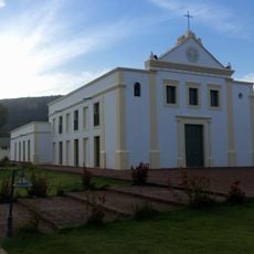
Ubajara National Park, National park in Ceará, Brazil
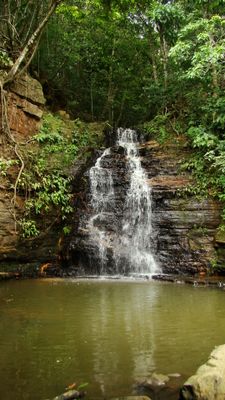
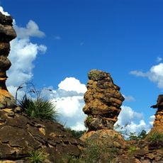
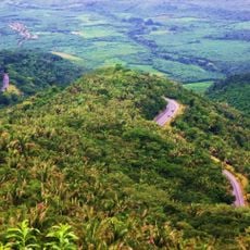
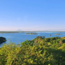
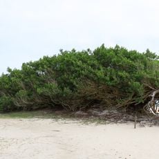
Ubajara National Park is a nature reserve in the state of Ceará, in northeastern Brazil, with caves, waterfalls, and forested hills. The park sits on a plateau and covers terrain that shifts noticeably from dense forest to open rocky slopes.
The park was established on April 30, 1959, under President Juscelino Kubitschek, after geologist David Azambuja drew attention to the area's geological value. It was the first national park created in northeastern Brazil.
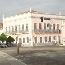
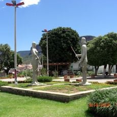
The park's name comes from an indigenous language and means either 'Lord of the Canoe' or 'Lord of the Arrows'. This meaning points to the peoples who lived across this land long before the area became protected.
Visiting the Ubajara Grotto requires advance booking and an official guide, so planning ahead is helpful. The months from February through June generally offer drier trails and easier walking conditions across the park.
A chairlift carries visitors from the plateau down to the grotto entrance, cutting what would otherwise be a long descent through the forest. Inside, the cave opens into several chambers where water has slowly shaped the rock and mineral deposits over thousands of years.
The community of curious travelers
AroundUs brings together thousands of curated places, local tips, and hidden gems, enriched daily by 60,000 contributors worldwide.