Cape São Roque, Coastal cape in Maxaranguape, Brazil
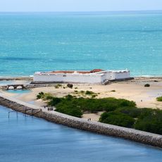
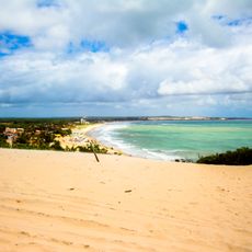
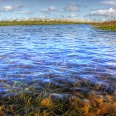
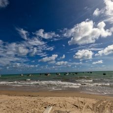
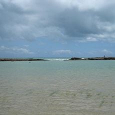
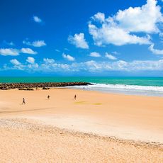
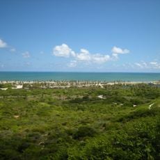
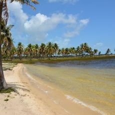
Cape São Roque is a low-lying cape on Brazil's northeastern coast that extends into the Atlantic Ocean. The terrain slopes gently toward the water and offers wide views of the shoreline and open sea.
The cape was documented and mapped by European explorers during an early voyage of discovery in 1501. This early documentation made the location an important reference point for charting Brazil's coastline.
The name comes from Saint Roch, whose feast day is 16 August; the 1501 Portuguese mapping expedition led by André Gonçalves and Amerigo Vespucci named the cape after the saint of the day. The cape marks the divide between Brazil's low, sandy northeastern coast and the cliff-lined eastern coast.
The cape lies north of Natal's center and can be reached via the coastal road running through Maxaranguape municipality. The best time to visit is during the drier months when conditions are more stable and visibility extends farther.
The cape marks the closest point of the Brazilian coast to the African continent, excluding the offshore islands of Fernando de Noronha and the Rocas Atoll. It also separates two stretches of coastline: the low, sandy Northeast and the East with its cliffs and bays.
The community of curious travelers
AroundUs brings together thousands of curated places, local tips, and hidden gems, enriched daily by 92,817 contributors worldwide.