
Amontada, human settlement in Brazil
Location: Amontada
Elevation above the sea: 37 m
GPS coordinates: -3.36167,-39.83167
Latest update: March 6, 2025 17:33
Jericoacoara Beach
99.3 km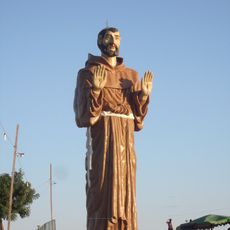
Estatua de San Francisco de Asís
126.3 km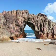
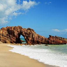
Jericoacoara National Park
97.1 km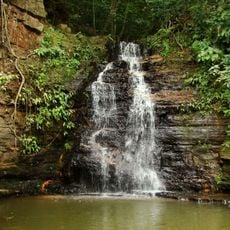
Ubajara National Park
126.7 km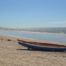
Praia do Preá
89.2 km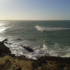
Praia da Taíba
60 km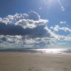
Praia de Mundaú
53.8 km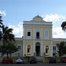
Santa Casa de Misericórdia de Sobral
69.2 km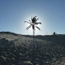
Icaraí beach
131.8 km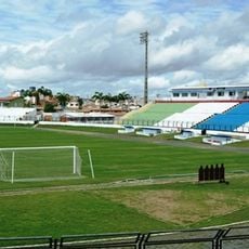
Estádio do Junco
68.6 km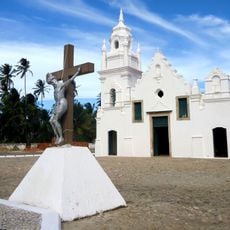
Church of Our Lady of the Conception (Almofala)
46.9 km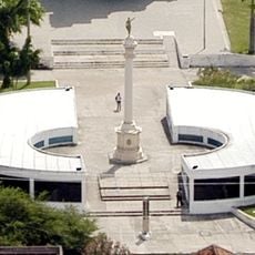
Museu do Eclipse
68.6 km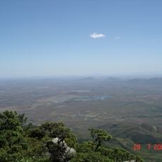
Pico da Rajada
136.8 km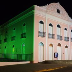
Teatro São João (Sobral)
67.8 km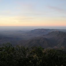
Pico Alto
133.9 km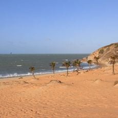
Praia da Malhada
99.2 km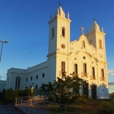
Sobral Cathedral
68.1 km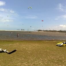
Lagoa do Cauípe
119.3 km
Praia do Pecém
113.1 km
Museu Dom José
67.5 km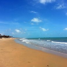
Praia de Almofala
48.4 km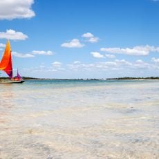
Tatajuba
111 km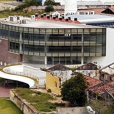
Biblioteca Municipal Lustosa da Costa
68.2 km
Pinacoteca de Sobral
68 km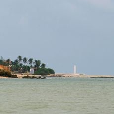
Camocim Lighthouse
127.1 km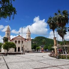
Cathedral of Our Lady of Mercy, Itapipoca
31.8 km
Açude Forquilha
67.3 km
Árvore da Preguiça
93.8 kmReviews
Visited this place? Tap the stars to rate it and share your experience / photos with the community! Try now! You can cancel it anytime.
Discover hidden gems everywhere you go!
From secret cafés to breathtaking viewpoints, skip the crowded tourist spots and find places that match your style. Our app makes it easy with voice search, smart filtering, route optimization, and insider tips from travelers worldwide. Download now for the complete mobile experience.

A unique approach to discovering new places❞
— Le Figaro
All the places worth exploring❞
— France Info
A tailor-made excursion in just a few clicks❞
— 20 Minutes