Namaqualand, Semi-desert region in southwestern Africa
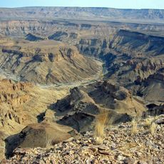
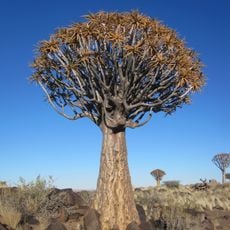
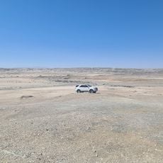
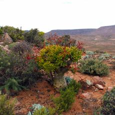
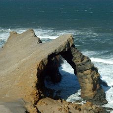
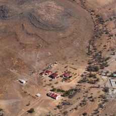
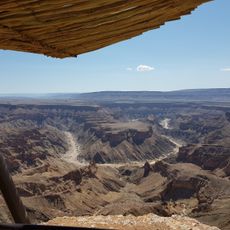
Namaqualand is an arid region of Namibia and South Africa extending over 1,000 km along the Atlantic coast and covering 440,000 km2, divided by the lower Orange River into Little Namaqualand in the south and Great Namaqualand in the north. Its landscape runs from an unexploited coastal strip to semidesert Succulent Karoo, where rosette succulents, columnar stems and scattered low bushes rise toward rocky hillsides.
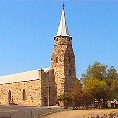
The district was explored in 1685 by governor Simon van der Stel's expedition, which was searching for copper. The first VG church was founded at Steinkopf in 1819, and the first NG church at Bowesdorp in 1850, north of Kamieskroon, after several mission societies had long been active here. Between 1904 and 1907 the German Empire killed around 50% of the Nama population in a racial extermination during the Herero and Nama genocide.
The name Namaqualand comes from the Khoikhoi "Nama-kwa", meaning the land of the Nama Khoi people. The Nama, a Khoikhoi people, traditionally speak Khoekhoe and have long inhabited the region. Many coloured Namaqualanders are descendants of the indigenous Namas, and locals share a recognisable pronunciation and idiomatic speech shaped by the thinly populated district.
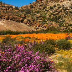
Springbok is the main hub for visitors, offering accommodation and supplies needed to explore the surroundings. The best time to visit is from August to October when wildflowers bloom after rains.
After seasonal rains, the desert briefly transforms into a mass of blooming wildflowers across the landscape. This annual event draws visitors from around the world seeking to witness this rare natural display.
The community of curious travelers
AroundUs brings together thousands of curated places, local tips, and hidden gems, enriched daily by 92,922 contributors worldwide.