Langeberg Local Municipality, local municipality in the Western Cape, South Africa
Location: Cape Winelands District Municipality
Inception: December 5, 2000
Capital city: Ashton
Elevation above the sea: 391 m
Shares border with: Breede Valley Local Municipality, Laingsburg Local Municipality, Kannaland Local Municipality, Swellendam Local Municipality, Theewaterskloof Local Municipality
Website: http://langeberg.gov.za
GPS coordinates: -33.83333,20.00000
Latest update: March 8, 2025 01:23
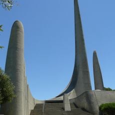
Afrikaans Language Monument
98.1 km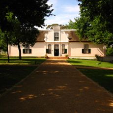
Boschendal
94.8 km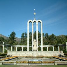
Huguenot Monument
81.5 km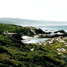
De Hoop Nature Reserve
88 km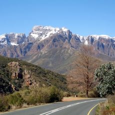
Du Toit's Peak
75.6 km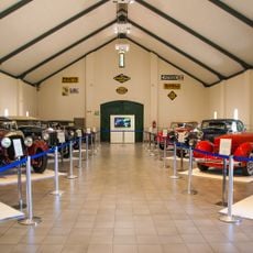
Franschhoek Motor Museum
81.4 km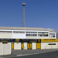
Boland Stadium
96.7 kmKaroo Desert National Botanical Garden
56.3 km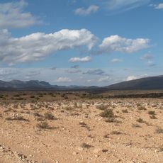
Anysberg Nature Reserve
67.1 km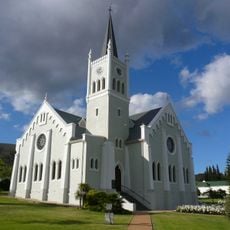
Nederduits Gereformeerde Kerk
67.2 km
Fernkloof Nature Reserve
90.3 km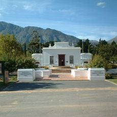
Huguenot Memorial Museum
81.5 km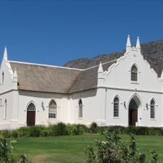
Dutch Reformed Church
81.9 km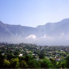
Marloth Nature Reserve
41.3 km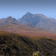
Boosmansbos Wilderness Area
82.4 km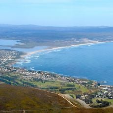
Walker Bay Nature Reserve
92.9 km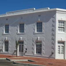
Caledon Museum
68.7 km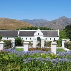
La Motte
85.9 km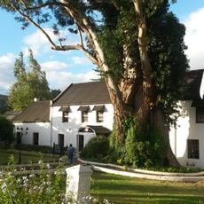
Houw Hoek Inn
88.6 km
Dutch Reformed Church, Montagu
12.2 km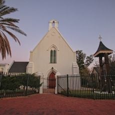
Church of St James the Great, Worcester
55.4 km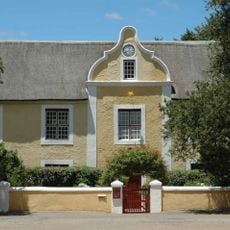
Moravian Mission Museum
46.7 km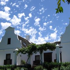
Vrede en Lust
96.8 km
Drostdy Museum
46.6 km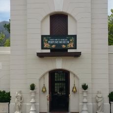
First South African Perfume Museum
81.4 km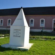
Emancipation Memorial
87.3 km
Laborie Main House
96.8 km
Laborie Wine Cellar
96.7 kmVisited this place? Tap the stars to rate it and share your experience / photos with the community! Try now! You can cancel it anytime.
Discover hidden gems everywhere you go!
From secret cafés to breathtaking viewpoints, skip the crowded tourist spots and find places that match your style. Our app makes it easy with voice search, smart filtering, route optimization, and insider tips from travelers worldwide. Download now for the complete mobile experience.

A unique approach to discovering new places❞
— Le Figaro
All the places worth exploring❞
— France Info
A tailor-made excursion in just a few clicks❞
— 20 Minutes