
Lourie Dam Local Authority Nature Reserve, محمية طبيعية في جنوب أفريقيا
Location: Eastern Cape
Elevation above the sea: 22 m
GPS coordinates: -33.86286,25.04025
Latest update: May 10, 2025 15:56
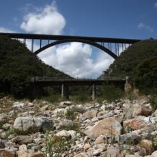
Van Stadens Bridge
15.3 km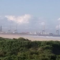
Coega
60.6 km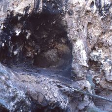
Klasies River Caves
65.9 km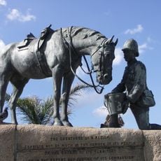
Horse Memorial
53.7 km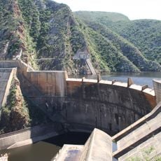
Kouga Dam
43.9 km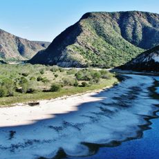
Baviaanskloof Mega Reserve
93.2 km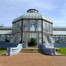
St George's Park, Port Elizabeth
53.6 km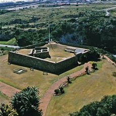
Fort Frederick
54.9 km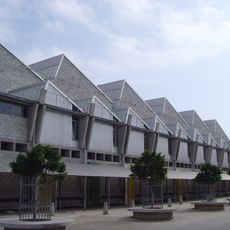
Red Location Museum
52.4 km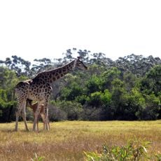
Kragga Kamma Game Park
40.9 km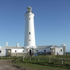
Seal Point Lighthouse
43.3 km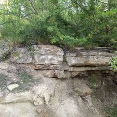
Sundays River Formation
59.5 km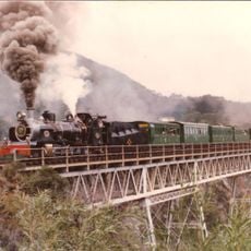
Van Stadens River NG rail bridge
15.8 km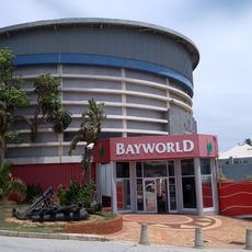
Bayworld: Snake Park
57.7 km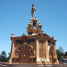
Prince Alfred's Guard Memorial
53.5 km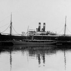
Itzehoe (Schiff)
65.3 km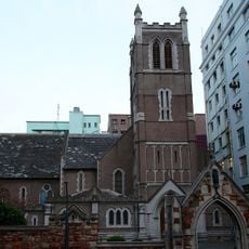
St Mary's Cathedral, Port Elizabeth
52.8 km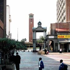
Campanile (Port Elizabeth)
55.1 km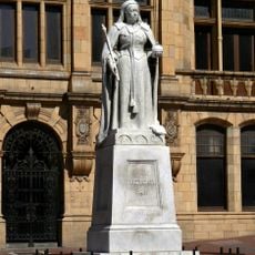
Statue of Queen Victoria
54.9 km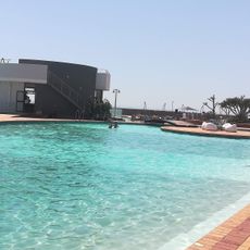
McArthur Baths Swimming Pool Complex
57.5 km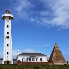
The Hill Lighthouse
54.7 km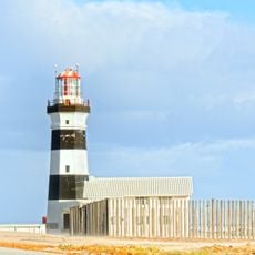
Cape Recife Lighthouse
63.8 km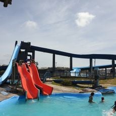
Supertubes
57.2 km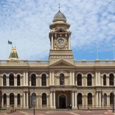
Port Elizabeth City Hall
55 km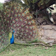
African Dawn Bird and Wildlife Sanctuary
8.9 km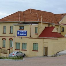
South End Museum
55.7 km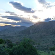
Haaspoort Game Reserve
65.6 km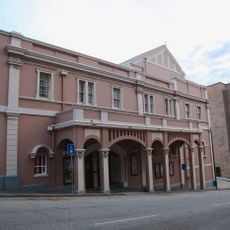
Port Elizabeth Opera House
54.9 kmReviews
Visited this place? Tap the stars to rate it and share your experience / photos with the community! Try now! You can cancel it anytime.
Discover hidden gems everywhere you go!
From secret cafés to breathtaking viewpoints, skip the crowded tourist spots and find places that match your style. Our app makes it easy with voice search, smart filtering, route optimization, and insider tips from travelers worldwide. Download now for the complete mobile experience.

A unique approach to discovering new places❞
— Le Figaro
All the places worth exploring❞
— France Info
A tailor-made excursion in just a few clicks❞
— 20 Minutes