
ǃKheis Local Municipality, local municipality in the Northern Cape, South Africa
Location: ZF Mgcawu District Municipality
Inception: December 5, 2000
Capital city: Groblershoop
Elevation above the sea: 1,030 m
Website: https://www.kheis.co.za/
Shares border with: Kareeberg Local Municipality, Siyathemba Local Municipality, Hantam Local Municipality, Siyancuma Local Municipality
Website: https://kheis.co.za
GPS coordinates: -28.90000,21.96667
Latest update: March 21, 2025 03:47
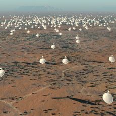
Square Kilometre Array
209.7 km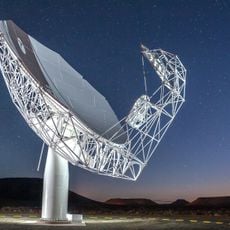
MeerKAT
208.1 km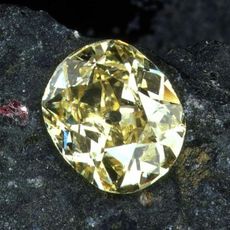
Eureka Diamond
272.5 km
Augrabies Falls
162.4 km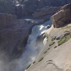
Augrabies Falls National Park
162.6 km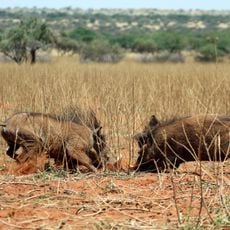
Tswalu Kalahari Reserve
189.4 km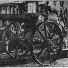
Long Cecil
273.8 km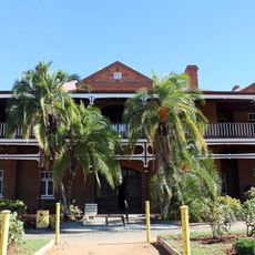
McGregor Museum
274.8 km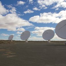
KAT-7
209.7 km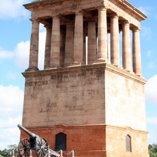
Honoured Dead Memorial
273.8 km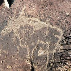
Wildebeest Kuil Rock Art Centre
263.1 km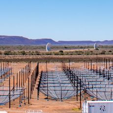
Hydrogen Epoch of Reionization Array
209.3 km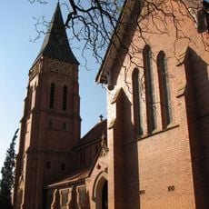
St Cyprian's Cathedral, Kimberley
274 km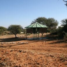
Canteen Kopje
253.5 km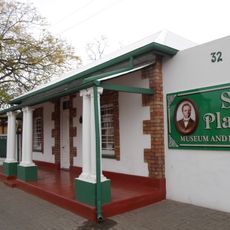
Sol Plaatje Museum
273.3 km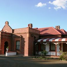
Duggan-Cronin Gallery
275 km
Koeksistermonument
258.4 km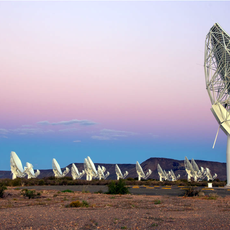
South African Radio Astronomy Observatory
208.1 km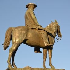
Statue équestre de Cecil Rhodes
274 km
Stone Rondavel
309.9 km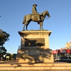
Equestrian statue of Cecil Rhodes
273.9 km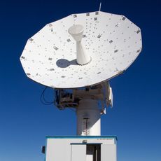
C-BASS South
230.6 km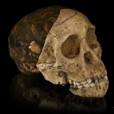
Taung Skull Fossil Site
297.8 km
Boesmansvlei
284.3 km
Gapützpan
238 km
Black Pan
285.2 km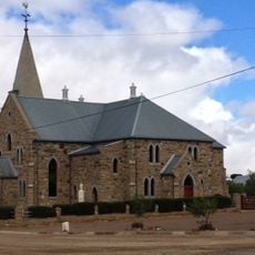
Dutch Reformed Church, Williston
289.9 km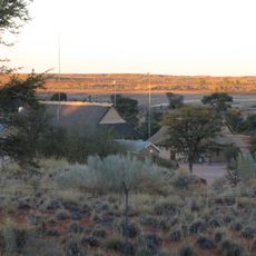
Twee Rivieren Camp
301.6 kmReviews
Visited this place? Tap the stars to rate it and share your experience / photos with the community! Try now! You can cancel it anytime.
Discover hidden gems everywhere you go!
From secret cafés to breathtaking viewpoints, skip the crowded tourist spots and find places that match your style. Our app makes it easy with voice search, smart filtering, route optimization, and insider tips from travelers worldwide. Download now for the complete mobile experience.

A unique approach to discovering new places❞
— Le Figaro
All the places worth exploring❞
— France Info
A tailor-made excursion in just a few clicks❞
— 20 Minutes