Geography of Lesotho, Mountain country in Southern Africa.
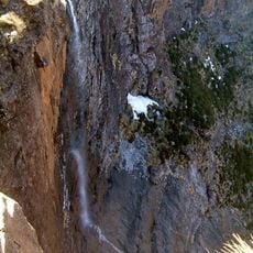
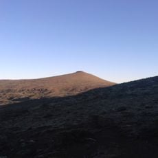
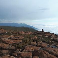
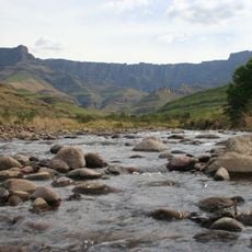
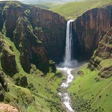
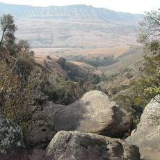
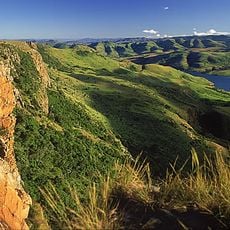
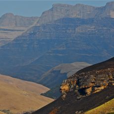
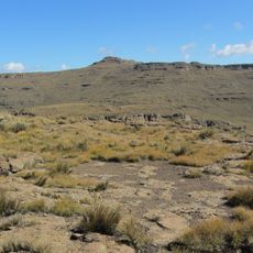
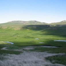
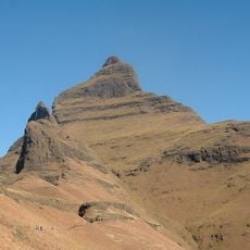
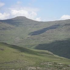
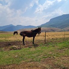
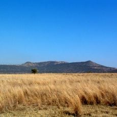
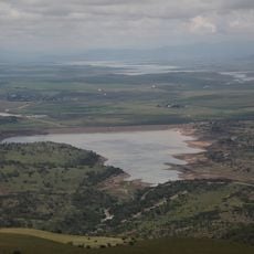
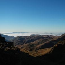
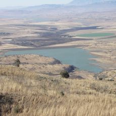
Lesotho is a mountain country in Southern Africa situated entirely above 1000 meters elevation, with highlands dominating its landscape. The terrain features deep valleys and extensive plateaus carved by multiple river systems that drain toward the lowlands.
Indigenous populations controlled the region until the 19th century when Moshoeshoe I unified the Sotho people and founded an independent state. This establishment allowed the territory to maintain autonomy against expansionist neighbors.
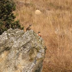
The Basotho people adapted to life in the highlands, developing distinct traditions visible in their colorful blankets and village settlements built on slopes. These customs continue to shape daily rhythms and community structures throughout the country.
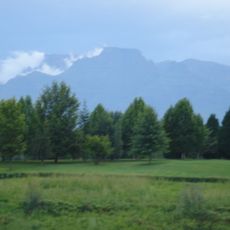
High elevation and rugged terrain dictate accessibility and require good physical preparation for visitors exploring the country. Warmer months offer the best conditions for travel, when roads remain passable and views across mountain ranges are clearest.
The meeting point of the Makhaleng and Orange rivers marks the country's lowest elevation at 1400 meters, making it the global record holder for highest minimum altitude. This geographic distinction reveals how thoroughly mountainous the entire region truly is.
The community of curious travelers
AroundUs brings together thousands of curated places, local tips, and hidden gems, enriched daily by 60,000 contributors worldwide.