Maseru, Capital city in western Lesotho, South Africa.
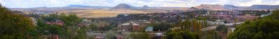
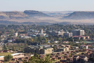
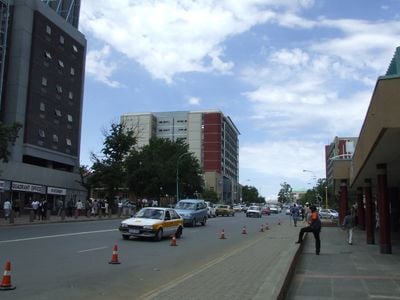
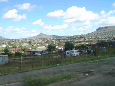
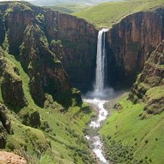
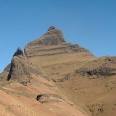
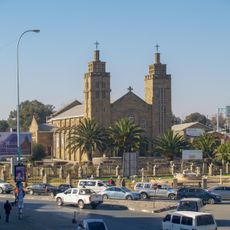
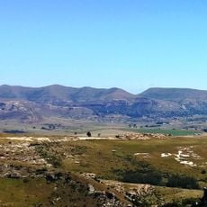
Maseru sits along the Caledon River at 1,600 meters elevation, the capital in western Lesotho and on the border with South Africa. The urban area spreads along the riverbank, while the Maloti Mountains rise in the background, giving the place a dramatic backdrop.
A British police post was established here in 1869 and grew into the administrative center of the then Basotho territory. After independence in 1966, the place remained the capital of the new nation of Lesotho.
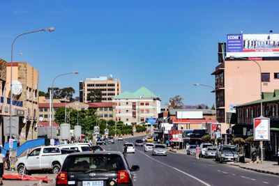
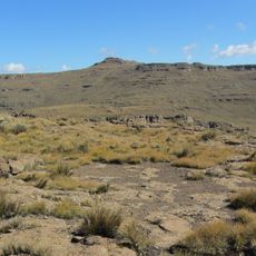
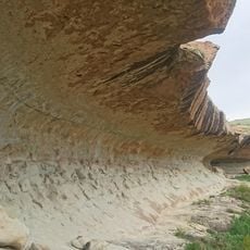
The city carries a Sesotho name referring to red sandstone formations once visible in the area. The border crossing connects two countries within a short distance, and pedestrians cross the bridge between nations daily.
The riverside location makes orientation easier, and most public buildings are found in the central area near the border. The elevation brings cooler temperatures, especially at night and during winter months.
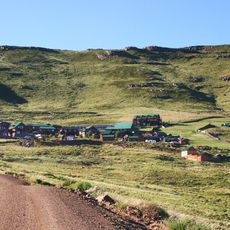
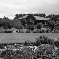
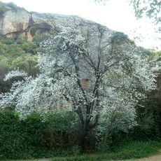
The place grew over decades by incorporating surrounding villages, expanding from 20 to 138 square kilometers. This gradual expansion led to a mix of older rural structures and newer urban neighborhoods side by side.
Location: Maseru District
Inception: 1869
Elevation above the sea: 1,600 m
GPS coordinates: -29.31005,27.47822
Latest update: December 12, 2025 23:28
Tugela Falls
151.2 km
Maletsunyane Falls
83.3 km
Royal Natal National Park
156.4 km
Mont-Aux-Sources
148.4 km
National Women's Monument
124.8 km
Setsoto Stadium
2.2 km
Cathedral Peak
166.6 km
Ben Macdhui
155.3 km
Anglo-Boer War Museum
124.8 km
Sandstone Estates
72.7 km
Willem Pretorius Game Reserve
114.2 km
Old Presidency
124.5 km
National Museum, Bloemfontein
124.2 kmNational Afrikaans Literary Museum and Research Centre
124.5 km
Bloemfontein City Hall
124.5 km
Winburg Voortrekker monument
97 km
Queen's Fort Military Museum
123.8 km
Fourth Raadsaal
124.4 km
Our Lady of Victories Cathedral
1.8 kmTierpoort Reservoir
129.3 km
Moolmanshoek Private Game Reserve
91.1 kmMeyerspruit
142.7 km
Sand River Convention Monument
127.7 km
Equestrian statue of Christiaan de Wet
124.4 km
Pretorius Kloof
144.8 km
Meiringskloof
107.2 km
Clarens Village Nature Reserve
125.6 km
Thimuli Cave
121.7 kmVisited this place? Tap the stars to rate it and share your experience / photos with the community! Try now! You can cancel it anytime.
Discover hidden gems everywhere you go!
From secret cafés to breathtaking viewpoints, skip the crowded tourist spots and find places that match your style. Our app makes it easy with voice search, smart filtering, route optimization, and insider tips from travelers worldwide. Download now for the complete mobile experience.
A unique approach to discovering new places❞
— Le Figaro
All the places worth exploring❞
— France Info
A tailor-made excursion in just a few clicks❞
— 20 Minutes