Brandwater Basin, Natural basin in Free State, South Africa
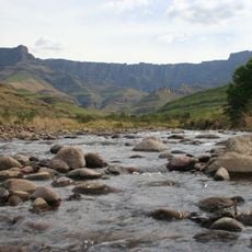
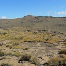
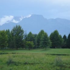
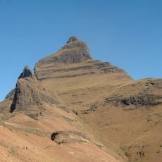
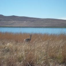
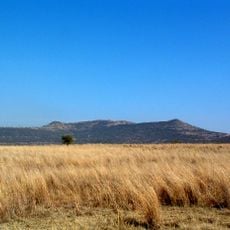
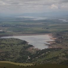
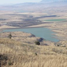
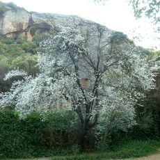
The Brandwater Basin is a natural depression in the eastern Free State region that is surrounded by mountain ranges on multiple sides. The Witteberg mountains form the western boundary while the Drakensberg range closes off the southern edge of the formation.
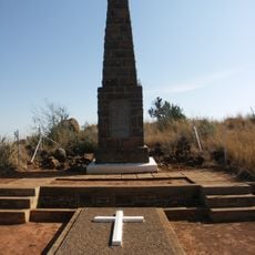
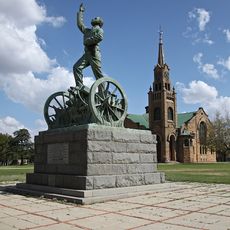
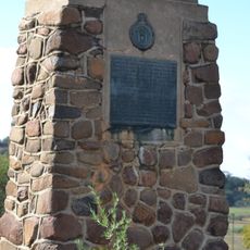
In July 1900, General Marthinus Prinsloo and Boer soldiers surrendered to British forces at this location during the Second Anglo-Boer War. This surrender represented a significant moment during that conflict.
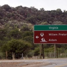
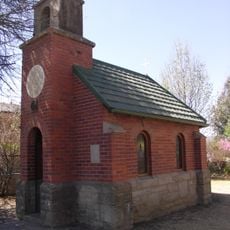
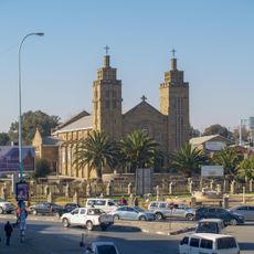
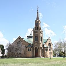
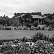
The basin area is home to small towns like Fouriesburg and Clarens, where traditional architecture and local ways of life from the Free State region are still visible today. These communities maintain the character and customs that have defined the area for generations.
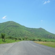
Five mountain passes provide entry to the basin from different directions: Retief's Nek, Naauwpoort's Nek, Golden Gate Pass, Kommando Nek, and Slabbert's Nek. Visitors should keep in mind that conditions and accessibility of these passes can vary depending on the season and weather.
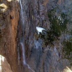
The Brandwater River drainage system creates a natural amphitheater shape that is bounded by three mountain ranges. This geological arrangement gives the region its distinctive appearance and acoustic properties.
The community of curious travelers
AroundUs brings together thousands of curated places, local tips, and hidden gems, enriched daily by 60,000 contributors worldwide.