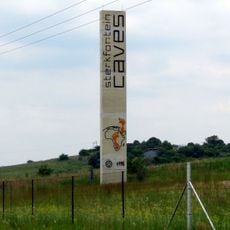
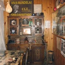
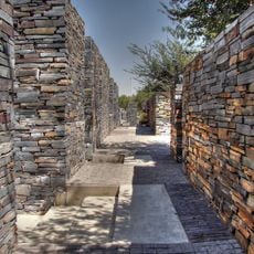
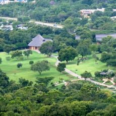
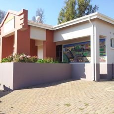
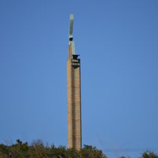
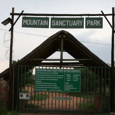
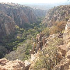
Merafong City Local Municipality, local municipality in Gauteng, South Africa
Location: West Rand District Municipality
Inception: December 5, 2000
Capital city: Carletonville
Elevation above the sea: 1,629 m
Website: http://www.merafong.co.za/
Shares border with: Mogale City Local Municipality, Randfontein Local Municipality, Westonaria Local Municipality, Emfuleni Local Municipality, Tlokwe Local Municipality, Ventersdorp Local Municipality, Rustenburg Local Municipality
Website: http://merafong.co.za
GPS coordinates: -26.41667,27.41667
Latest update: March 3, 2025 02:25
Cradle of Humankind
55.7 km
Gold Reef City
62.7 km
Sterkfontein
54.8 km
Apartheid Museum
62.3 km
Mandela House
53 km
Hector Pieterson Museum
53.1 km
Walter Sisulu National Botanical Garden
56 km
Tutu House
53.1 km
Drimolen
60.3 km
Dobsonville Stadium
49.4 km
Regina Mundi
49.6 km
Wonder Cave
61.1 km
Klipriviersberg Nature Reserve
60.6 km
Coopers Cave
55.8 km
School of Artillery
44.3 km
Plovers Lake
60.7 km
Paardekraal Monument
51 km
Grottes de Sterkfontein
54.5 km
Walter Sisulu Square of dedication
49.6 km
James Mpanza House
55 km
Hector Pieterson Memorial
52.9 km
Abe Bailey Nature Reserve
14.8 km
Orlando East Public Library
54.4 km
Tower of Terror (Gold Reef City)
62.9 km
Anaconda (Gold Reef City)
62.7 km
Danie Theron Monument
4.4 km
Mountain Sanctuary Park
55.8 km
Hamerkop Kloof
63.1 kmReviews
Visited this place? Tap the stars to rate it and share your experience / photos with the community! Try now! You can cancel it anytime.
Discover hidden gems everywhere you go!
From secret cafés to breathtaking viewpoints, skip the crowded tourist spots and find places that match your style. Our app makes it easy with voice search, smart filtering, route optimization, and insider tips from travelers worldwide. Download now for the complete mobile experience.
A unique approach to discovering new places❞
— Le Figaro
All the places worth exploring❞
— France Info
A tailor-made excursion in just a few clicks❞
— 20 Minutes