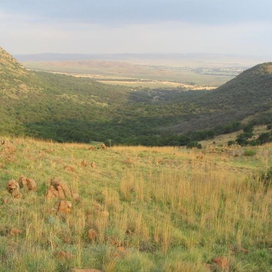
Suikerbosrand Nature Reserve, Nature reserve in Gauteng, South Africa
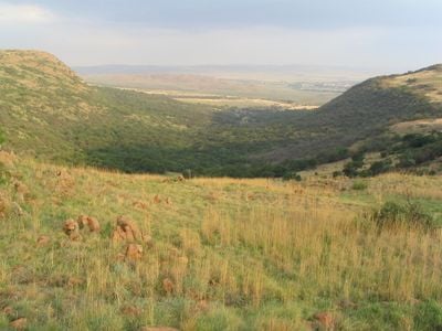
Suikerbosrand Nature Reserve covers most of the Suikerbosrand Range, a rocky highveld grassland of ridges, kloofs and open plains between 1,545 and 1,917 m above sea level, about 50 km south-east of Johannesburg near Heidelberg. The 134 km2 reserve has hiking trails, a tarred circular drive for motorists, a visitors' centre and the Diepkloof Farm Museum, with chalets, caravan and tent sites at its holiday resort.
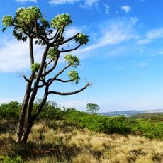
On 5 June 1836, a party led by General Hendrik Potgieter named the Suikerbosrand ridge after a sweet reed, probably sweet sorghum, growing there. The name later became linked to the Transvaal-sugar bush (Protea afra), a dominant plant in the area. In the early twenty-first century, land acquisitions almost doubled the reserve's size, and it is now managed by Gauteng's Department of Agriculture, Conservation, Environment and Land Affairs.
The Diepkloof Farm Museum within the reserve shows traditional farming methods and teaches visitors how agricultural life was practiced in this region. The exhibits keep the rural heritage of the area alive through everyday objects and stories.
The reserve lies about 50 km south-east of Johannesburg, just west of Heidelberg, in the upper catchment of the Klip and Suikerbosrand rivers. A tarred circular route lets motorists drive through the reserve, while hiking trails range from day walks to overnight routes. The Visitors' Centre and Diepkloof Farm Museum are inside the reserve, and accommodation includes chalets, caravan sites and tent sites.
The reserve's name comes from a sweet reed found by Hendrik Potgieter's party on 5 June 1836, later applied to the Transvaal-sugar bush (Protea afra) that dominates the grassland. The range rises from 1,545 to 1,917 m above sea level in the upper catchment of the Klip and Suikerbosrand rivers.
The community of curious travelers
AroundUs brings together thousands of curated places, local tips, and hidden gems, enriched daily by 94,467 contributors worldwide.