Ennerdale, place in Gauteng, South Africa
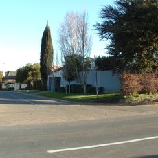
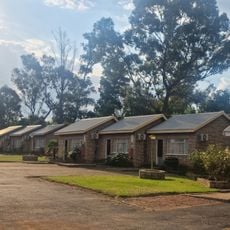
Ennerdale is a town on the southern edge of Johannesburg, with rows of houses built on small plots close together. The streets are busy with residents moving through their daily routines, walking or using taxis to get around.
The town was established in the 1970s during apartheid as a residential area designed to separate population groups, specifically allocated for people identified as Coloured. After apartheid ended in the 1990s, Black African families increasingly moved in, changing the area's demographic makeup.
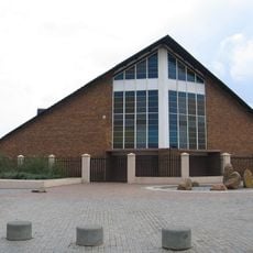
The name Ennerdale reflects British naming conventions from its planning era. Today, residents use communal spaces like schools, churches, and community halls as gathering points where people reinforce their connections and support one another through shared activities.
The town is located about 30 kilometers south of Johannesburg's city center and is well connected by roads accessible via public transport and taxis. Visitors should note that medical and basic infrastructure services are limited, so it is wise to bring necessary supplies from outside.
The area was originally farmland where growers cultivated stone fruits like peaches and plums before the government converted it into planned housing in the 1970s. This agricultural-to-residential shift remains an important yet often overlooked part of the local story.
The community of curious travelers
AroundUs brings together thousands of curated places, local tips, and hidden gems, enriched daily by 60,000 contributors worldwide.