
Leandra, human settlement in South Africa
Location: Govan Mbeki Local Municipality
Location: Gert Sibande District Municipality
GPS coordinates: -26.37361,28.92000
Latest update: May 11, 2025 01:59
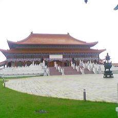
Nan Hua Temple
63.9 km
Rietvlei Nature Reserve
82 km
Suikerbosrand Nature Reserve
68.3 km
Satyagraha House
86.9 km
South African Airways Museum Society
77.3 km
Lory Park Zoo
86.7 km
Germiston Stadium
76.1 km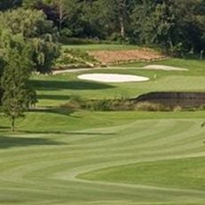
Royal Johannesburg & Kensington Golf Club
84.8 km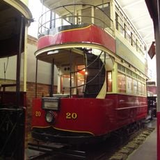
James Hall Transport Museum
87.9 km
Wild Waters
71.1 km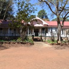
Smuts House Museum
87.5 km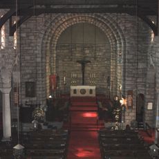
St Boniface Church Germiston
77.9 km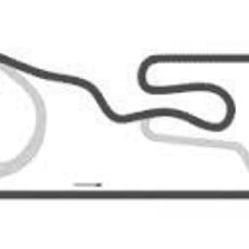
WesBank Raceway
79.7 km
Chris Hani Memorial
70.2 km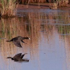
Marievale Bird Sanctuary
41 km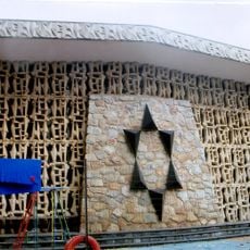
Chassidim Shul
86.8 km
Red Star Raceway
37 km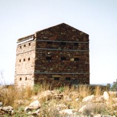
Witkop Blockhouse
85.4 km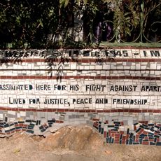
David Webster House
86.7 km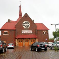
Baptist Church, Troyeville
87.3 km
Prime View Adventure & Leisure
87.2 km
Ditsong Willem Prinsloo Agricultural Museum
75.9 km
Kidson Weir
87.4 km
Bronberg Ridge conservation area
78.3 km
Emperors Palace
74.2 km
Bronkhorstspruit Reservoir
57.5 km
Bronkhorstspruit Dam Nature Reserve
56.2 km
Ezemvelo Nature Reserve
74.5 kmReviews
Visited this place? Tap the stars to rate it and share your experience / photos with the community! Try now! You can cancel it anytime.
Discover hidden gems everywhere you go!
From secret cafés to breathtaking viewpoints, skip the crowded tourist spots and find places that match your style. Our app makes it easy with voice search, smart filtering, route optimization, and insider tips from travelers worldwide. Download now for the complete mobile experience.

A unique approach to discovering new places❞
— Le Figaro
All the places worth exploring❞
— France Info
A tailor-made excursion in just a few clicks❞
— 20 Minutes