Amajuba District Municipality
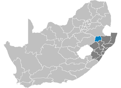
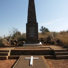
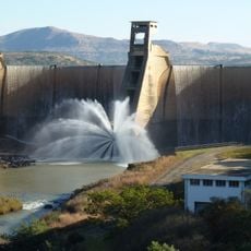
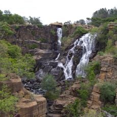
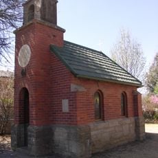
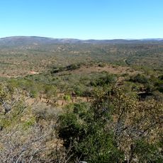
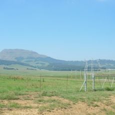
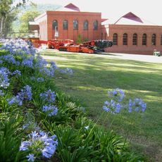
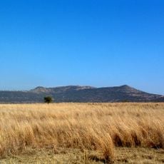
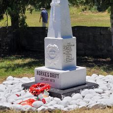
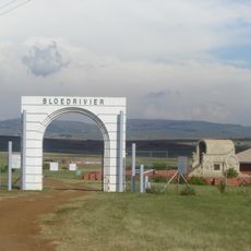
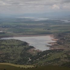
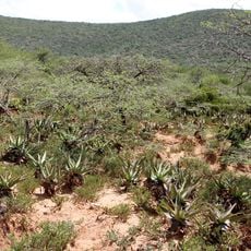
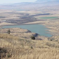
Amajuba District Municipality, district municipality in KwaZulu-Natal, South Africa
Location: KwaZulu-Natal
Inception: December 5, 2000
Capital city: Newcastle
Elevation above the sea: 1,206 m
Website: http://amajuba.gov.za
GPS coordinates: -27.75000,29.91667
Latest update: March 4, 2025 11:47
Tugela Falls
150 km
Isandlwana
98.5 km
Royal Natal National Park
143.5 km
Mont-Aux-Sources
153 km
Cathedral Peak
151.6 km
Spion Kop
107.5 km
Ithala Game Reserve
141.9 km
Sterkfontein Dam Nature Reserve
113 km
Spion Kop Battlefield Memorials
107.4 km
Wagendrift Dam
144.7 km
Ncandu Falls
13.1 km
Spioenkop Dam Nature Reserve
109.3 km
Llandaff Oratory
87.5 km
EMakhosini Ophathe Heritage Park
155 km
Retief Rock
115.5 km
Dutch Corps Monument
73.2 km
Majubaberg
32.6 km
Talana Museum
56.4 km
Riserva naturale di Spioenkop
111.7 km
Rorke's Drift Museum
91 km
Blood River Memorial
73.1 km
Hart's Hill Falls
105.8 km
Woodstock Dam Reservoir
130.2 km
Mhlopeni Nature Reserve
149.4 km
Kilburn Reservoir
123.2 km
Spirit of eMakhosini
155 km
Kruger Bridge
92.5 km
Mgungundlovu Multimedia Centre
152.6 kmReviews
Visited this place? Tap the stars to rate it and share your experience / photos with the community! Try now! You can cancel it anytime.
Discover hidden gems everywhere you go!
From secret cafés to breathtaking viewpoints, skip the crowded tourist spots and find places that match your style. Our app makes it easy with voice search, smart filtering, route optimization, and insider tips from travelers worldwide. Download now for the complete mobile experience.
A unique approach to discovering new places❞
— Le Figaro
All the places worth exploring❞
— France Info
A tailor-made excursion in just a few clicks❞
— 20 Minutes