
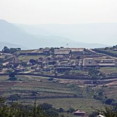
Umvoti Local Municipality, local municipality
Location: Umzinyathi District Municipality
Inception: December 5, 2000
Capital city: Greytown
Elevation above the sea: 1,117 m
GPS coordinates: -29.06360,30.58890
Latest update: April 18, 2025 21:30
Nkandla
55.4 km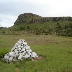
Isandlwana
79.5 km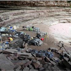
Sibudu Cave
70.3 km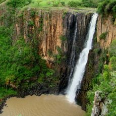
Howick Falls
58.1 km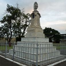
King Shaka Memorial
75.2 km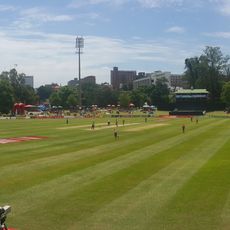
City Oval
64.1 km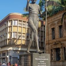
Statue of Mahatma Gandhi
63.3 km
Krantzkloof Nature Reserve
82 km
Umhlanga Lagoon
87.2 km
The Oyster Box
88.2 km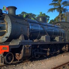
Umgeni Steam Railway
84.4 km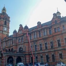
Pietermaritzburg City Hall
63.2 km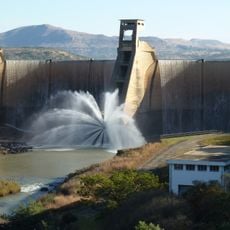
Wagendrift Dam
73.4 km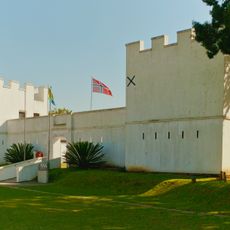
Fort Nongqayi
88.5 km
Fort Pearson
83.8 km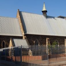
Cathedral of the Holy Nativity, Pietermaritzburg
63.7 km
Mandela Capture Site
60.7 km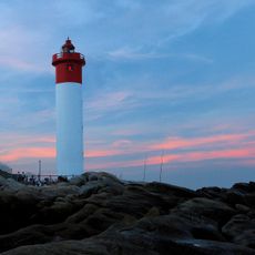
Umhlanga Rocks Lighthouse
88.5 km
Iphithi Nature Reserve
83.4 km
Springside Nature Reserve
81.6 km
Shuter House
62.8 km
Pearls of Umhlanga
88.1 km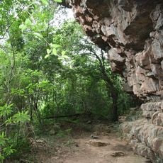
Umhlatuzana Rock Shelter
84.4 km
Zimbali Country Club
79.9 km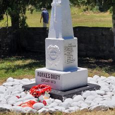
Rorke's Drift Museum
78.7 km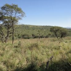
Bisley Valley Nature Reserve
69 km
Nagle Reservoir
59.2 km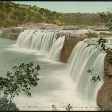
Hart's Hill Falls
83.6 kmReviews
Visited this place? Tap the stars to rate it and share your experience / photos with the community! Try now! You can cancel it anytime.
Discover hidden gems everywhere you go!
From secret cafés to breathtaking viewpoints, skip the crowded tourist spots and find places that match your style. Our app makes it easy with voice search, smart filtering, route optimization, and insider tips from travelers worldwide. Download now for the complete mobile experience.

A unique approach to discovering new places❞
— Le Figaro
All the places worth exploring❞
— France Info
A tailor-made excursion in just a few clicks❞
— 20 Minutes