Kgatleng District, Administrative district in eastern Botswana
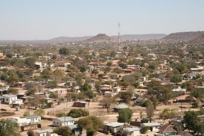
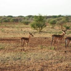
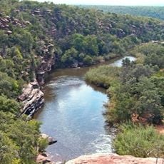
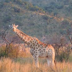
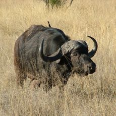
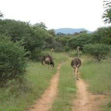
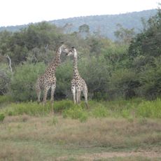
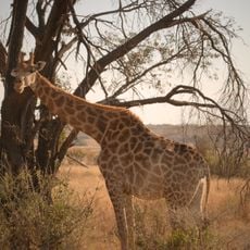
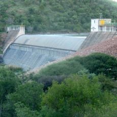
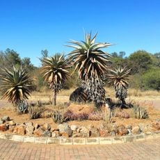
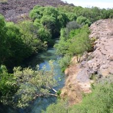
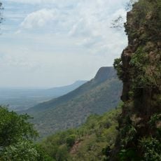
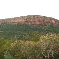
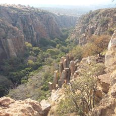
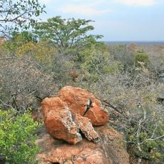
Kgatleng District is an administrative region in eastern Botswana with rolling hills and savannah landscapes, characterized by tall grasses, bushes, and scattered trees. The area sits at around 935 meters elevation and spreads across several smaller settlements and communities.
The region was structured as an important administrative division after Botswana gained independence in 1966, forming one of the country's primary territorial divisions. This administrative framework made it possible to organize local community affairs systematically.
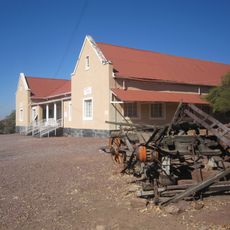
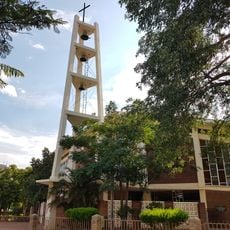
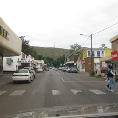
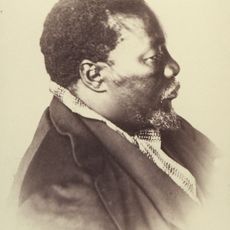
The Bakgatla people shape the cultural life of Kgatleng through their community celebrations and traditional gatherings, especially in Mochudi, where local customs remain alive.
The area borders South Africa and connects with the North West and Limpopo provinces, while also linking to the South-East, Kweneng, and Central districts. Visitors should note that the rural setting and limited modern infrastructure mean planning extra time for travel.
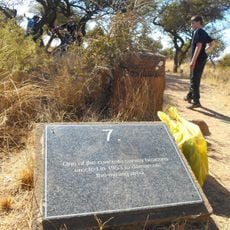
The Matsieng Footprints site holds ancient human traces dating back thousands of years, offering insight into early settlement patterns. In Oodi, traditional weavers practice textile techniques passed down through generations.
The community of curious travelers
AroundUs brings together thousands of curated places, local tips, and hidden gems, enriched daily by 60,000 contributors worldwide.