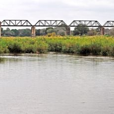
White River, Mpumalanga, place in Mpumalanga, South Africa
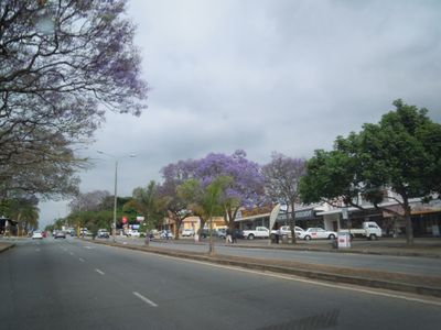
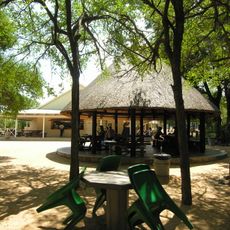
White River is a town in Mpumalanga province, situated between Nelspruit and Kruger National Park in South Africa. Its streets are lined with trees and flowering plants, and the town has restaurants, a motor museum, an arts space, and sports facilities.
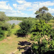
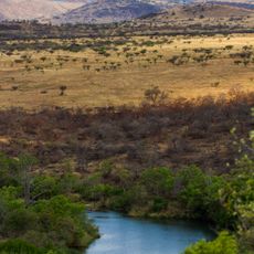
White River grew as a farming settlement, with citrus and mango orchards shaping the land and the local economy for generations. Over time, tourism took hold and old agricultural land was gradually turned into lodges, shops, and visitor attractions.
White River has a thriving arts community where local artists display their work in galleries throughout town. The Saturday market reflects local tradition, with farmers and craftspeople selling homemade goods, fresh produce, and handmade items that represent the town's creative spirit.
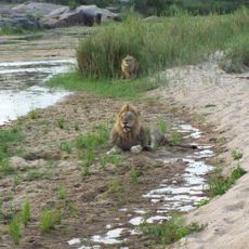
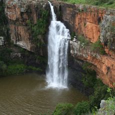
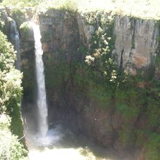
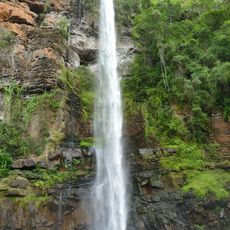
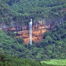
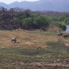
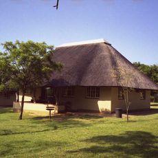
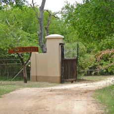
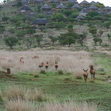
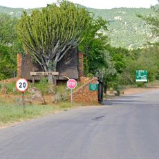
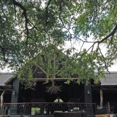
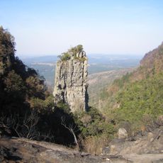
The town sits a short drive from the gates of Kruger National Park, making it a practical base for day trips into the bush. Accommodation options range from simple guesthouses to more comfortable lodges, so most budgets are covered.
Rottcher Wineries, near the town, produces wine made from oranges rather than grapes, which is very rare in South Africa. The winery sits on land that was once used for commercial fruit farming, connecting its current product directly to the region's agricultural past.
The community of curious travelers
AroundUs brings together thousands of curated places, local tips, and hidden gems, enriched daily by 60,000 contributors worldwide.