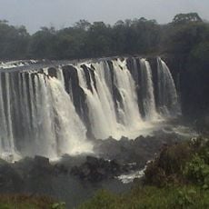
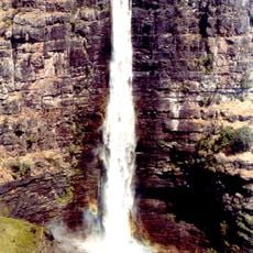
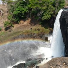
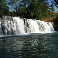
Chambeshi River, Major river source in northeastern Zambia
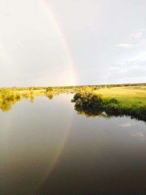
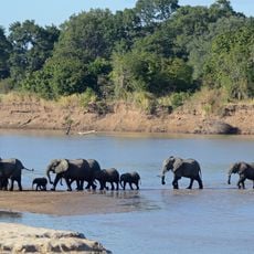
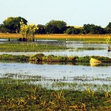
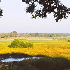
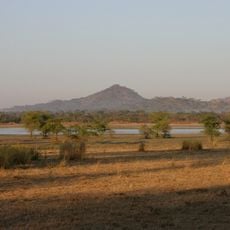
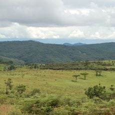
The Chambeshi River flows southwest through varied terrain, forming channels up to 2 kilometers wide in its floodplain near Kasama. The waterway moves through landscape with dense vegetation along its banks and flat plains that shift dramatically during the rainy months.
The river originated as the most distant headstream of the Congo system, feeding all downstream waterways from this foundational source. This geographical position has shaped the region's hydrology for millennia.
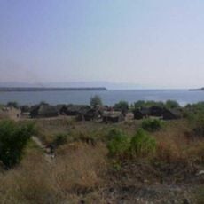
The local people depend on the yearly flooding cycle for farming and fishing, and their daily lives follow the rhythm of high and low water seasons. This connection shapes how communities live and work along the waterway throughout the year.
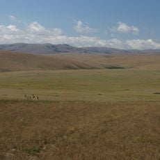
Water levels change significantly with the seasons, particularly during May and the rainy months, affecting crossings on roads and railway lines. Visitors should check local conditions, especially if planning to cross the river or nearby routes.
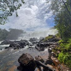
After passing through the Bangweulu Wetlands, the river transforms into the Luapula, which then becomes an international boundary between countries. This shift shows how water shapes the region while also defining political borders.
The community of curious travelers
AroundUs brings together thousands of curated places, local tips, and hidden gems, enriched daily by 60,000 contributors worldwide.