Chest opened
+${chestReward.xp} XP
Explorer
NOUVEAU ×${chestReward.collectible.quantity}
tapez pour fermer

See the monuments around you in AR Open chests in the app

Around Us is built for your phone — point your camera at the streets and discover the monuments and places around you in augmented reality. Around Us is built for your phone — chests unlock when you walk, explore and capture nearby places.

Enable Location

We need your location to show you interesting places around you

Discover nearby places

Find interesting locations and hidden gems around you

Precise directions

Get accurate directions and distances to places

Your location is never shared with other users. It's only used when you tap the location button.

Log in to your account

Start exploring — it's free

Trusted by 86,306 travelers worldwide

Continue with Google
Continue with Apple
or

We will send you a code to connect

By continuing, you accept our Terms and Conditions and our Privacy Policy

Check your inbox

We've sent a pincode in your inbox. Please enter the code below.

Tshilenge Territory
Discussion Reviews Photo
4.2k Popularity

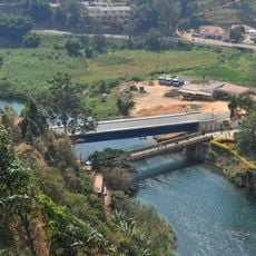
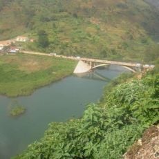
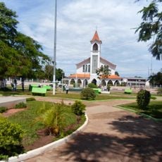
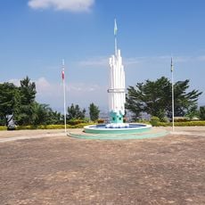
Tshilenge Territory, Administrative territory in Kasai-Oriental, Democratic Republic of the Congo

Tshilenge Territory is an administrative region in Kasai-Oriental province with several settlements spread across its landscape. It is home to a large population living in villages and communities throughout the territory.

The territory received its current administrative structure in 2015 following a major reform of the country's provincial organization. This change created the modern framework that exists today.

Tshiluba is the main language spoken by local residents in their daily interactions and family life. This language represents an important part of how the community communicates and maintains its identity.

Visitors should prepare for tropical weather conditions and bring appropriate rain gear when traveling to the area. Planning ahead and arranging local guidance are helpful since infrastructure is limited in some areas.

The region has diamond deposits that have shaped its economic development over time. These natural resources continue to influence local activity and regional commerce today.

The community of curious travelers

AroundUs brings together thousands of curated places, local tips, and hidden gems, enriched daily by 60,000 contributors worldwide.
Start exploring
Location
GPS coordinates
-6.25000,23.76700
Latest update
September 12, 2026 20:17
Around this place
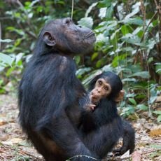
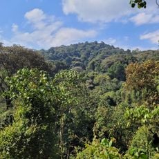
Gombe National Park
Tanzania

Gombe National Park

418.5 mi
Nyungwe Forest
Rwanda

Nyungwe Forest

458.9 mi
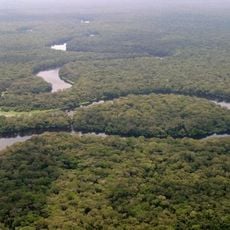
Salonga National Park
Congo, Democratic Republic of the

Salonga National Park

338.3 mi
Kahuzi-Biéga National Park
Congo, Democratic Republic of the

Kahuzi-Biéga National Park

409.7 mi
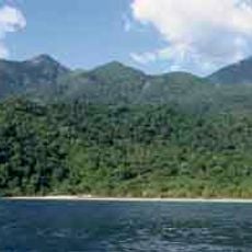
Mahale Mountains National Park
Tanzania

Mahale Mountains National Park

424 mi
Kibira National Park
Burundi

Kibira National Park

450.6 mi
Upemba National Park
Congo, Democratic Republic of the

Upemba National Park

268.2 mi
Livingstone–Stanley Monument
Burundi

Livingstone–Stanley Monument

429.9 mi
Congo, Democratic Republic of the

Upemba Depression

243 mi
Stade Frederic Kibassa Maliba
Congo, Democratic Republic of the

Stade Frederic Kibassa Maliba

454.7 mi
Rusizi National Park
Burundi

Rusizi National Park

430 mi
Lumangwe Falls
Zambia

Lumangwe Falls

447.3 mi
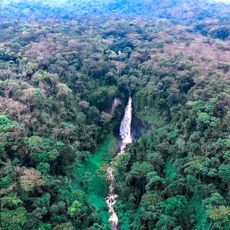
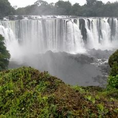
Lofoi Falls
Congo, Democratic Republic of the

Lofoi Falls

382.1 mi
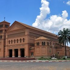
Sts. Peter and Paul Cathedral, Lubumbashi
Congo, Democratic Republic of the

Sts. Peter and Paul Cathedral, Lubumbashi

452.4 mi
National Museum of Lubumbashi
Congo, Democratic Republic of the

National Museum of Lubumbashi

451.3 mi
Our Lady of Peace Cathedral, Bukavu
Congo, Democratic Republic of the

Our Lady of Peace Cathedral, Bukavu

436.5 mi
Chutes de la Kagera
Burundi

Chutes de la Kagera

466 mi
Living Museum of Bujumbura
Burundi

Living Museum of Bujumbura

433 mi
Regina Mundi Cathedral
Burundi

Regina Mundi Cathedral

433.4 mi
Lake Nzilo
Congo, Democratic Republic of the

Lake Nzilo

324.4 mi
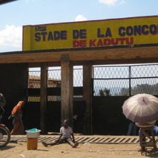
Stade de la Concorde
Congo, Democratic Republic of the

Stade de la Concorde

435.4 mi
Pont Ruzizi I
Congo, Democratic Republic of the

Pont Ruzizi I

438.8 mi
Stade des Jeunes
Congo, Democratic Republic of the

Stade des Jeunes

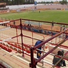
98.1 mi
Pont Ruzizi II
Congo, Democratic Republic of the

Pont Ruzizi II

436.4 mi
Our Lady of the Assumption Cathedral, Saurimo
Angola

Our Lady of the Assumption Cathedral, Saurimo

330 mi
Zoo de Lubumbashi
Congo, Democratic Republic of the

Zoo de Lubumbashi

452.3 mi
30 June Building
Congo, Democratic Republic of the

30 June Building

451.4 mi
Monument de l'Unité Nationale
Burundi

Monument de l'Unité Nationale

434.9 mi
Show the full map
Reviews
Share your experience

No review yet

Discussions
Start a discussion...

No discussion yet

« Tshilenge Territory - Administrative territory in Kasai-Oriental, Democratic Republic of the Congo » is provided by Around Us (aroundus.com). Images and texts are derived from Wikimedia project under a Creative Commons license. You are allowed to copy, distribute, and modify copies of this page, under the conditions set by the license, as long as this note is clearly visible.

Discover hidden gems everywhere you go!

From secret cafés to breathtaking viewpoints, skip the crowded tourist spots and find places that match your style. Our app makes it easy with voice search, smart filtering, route optimization, and insider tips from travelers worldwide. Download now for the complete mobile experience.
Around Us App Screenshot

A unique approach to discovering new places

Le Figaro

All the places worth exploring

France Info

A tailor-made excursion in just a few clicks

20 Minutes

Around Us
Travel Guide & Maps
Download

Send to your phone

QR Code
1

Open the camera app on your mobile.

2

Point at the QR code with your camera. A notification will appear.

3

Tap the notification to open the link.