Chest opened
+${chestReward.xp} XP
Explorer
NOUVEAU ×${chestReward.collectible.quantity}
tapez pour fermer
Chest locked

Open chests in the app

Around Us is built for your phone — chests unlock when you walk, explore and capture nearby places.

Enable Location

We need your location to show you interesting places around you

Discover nearby places

Find interesting locations and hidden gems around you

Precise directions

Get accurate directions and distances to places

Your location is never shared with other users. It's only used when you tap the location button.

Log in to your account

Start exploring — it's free

Trusted by 72,876 travelers worldwide

Continue with Google
Continue with Apple
or

We will send you a code to connect

By continuing, you accept our Terms and Conditions and our Privacy Policy

Check your inbox

We've sent a pincode in your inbox. Please enter the code below.

Tshilenge District
Discussion Reviews Photo
2k Popularity

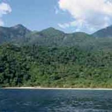
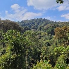
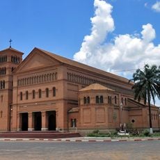
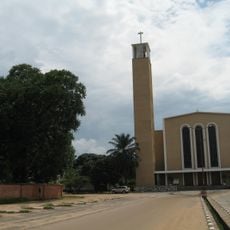
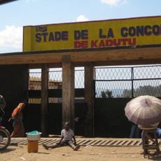
Tshilenge District, Administrative district in Kasai-Oriental, Democratic Republic of the Congo.

Tshilenge is an administrative district near Mbuji-Mayi in the Democratic Republic of Congo. The area spans across multiple territories and contains several communities within its boundaries.

After Congo's independence in 1960, the area underwent major transformations as Luba people migrated into the Mbuji-Mayi region. In 2015, the district merged administratively with Mbuji-Mayi city to form the new Kasai Oriental province.

French and Tshiluba are spoken here, with Tshiluba being one of the four national languages of the Democratic Republic of Congo. The language shapes daily communication and connects residents to their shared heritage.

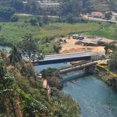
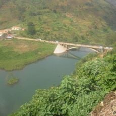
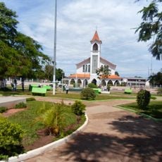
The area is distributed across multiple administrative centers and settlements connected by various roads. Visitors should be aware that conditions and infrastructure can vary between different locations throughout the region.

The territory holds substantial diamond reserves that contribute significantly to global industrial diamond production. These mineral resources have shaped the economic and social development of the region.

The community of curious travelers

AroundUs brings together thousands of curated places, local tips, and hidden gems, enriched daily by 60,000 contributors worldwide.

Start exploring
GPS coordinates
-6.15000,23.60000
Latest update
December 14, 2025 11:04
Around this place
Gombe National Park
Tanzania

Gombe National Park

688.7 km
Boyoma Falls
Congo, Democratic Republic of the

Boyoma Falls

760.7 km
Nyungwe Forest
Rwanda

Nyungwe Forest

747.9 km
Salonga National Park
Congo, Democratic Republic of the

Salonga National Park

527.1 km
Kahuzi-Biéga National Park
Congo, Democratic Republic of the

Kahuzi-Biéga National Park

653.2 km
Mahale Mountains National Park
Tanzania

Mahale Mountains National Park

701 km
Kibira National Park
Burundi

Kibira National Park

740.7 km
Upemba National Park
Congo, Democratic Republic of the

Upemba National Park

458.5 km
Livingstone–Stanley Monument
Burundi

Livingstone–Stanley Monument

703.8 km
Upemba Depression
Congo, Democratic Republic of the

Upemba Depression

412.2 km
Stade Frederic Kibassa Maliba
Congo, Democratic Republic of the

Stade Frederic Kibassa Maliba

751.4 km
Rusizi National Park
Burundi

Rusizi National Park

703.2 km
Lumangwe Falls
Zambia

Lumangwe Falls

741.5 km
Lofoi Falls
Congo, Democratic Republic of the

Lofoi Falls

635.7 km
Sts. Peter and Paul Cathedral, Lubumbashi
Congo, Democratic Republic of the

Sts. Peter and Paul Cathedral, Lubumbashi

747.6 km
National Museum of Lubumbashi
Congo, Democratic Republic of the

National Museum of Lubumbashi

745.9 km
Our Lady of Peace Cathedral, Bukavu
Congo, Democratic Republic of the

Our Lady of Peace Cathedral, Bukavu

711.1 km
Living Museum of Bujumbura
Burundi

Living Museum of Bujumbura

708.4 km
Regina Mundi Cathedral
Burundi

Regina Mundi Cathedral

709.2 km
Lake Nzilo
Congo, Democratic Republic of the

Lake Nzilo

539.3 km
Stade de la Concorde
Congo, Democratic Republic of the

Stade de la Concorde

709.3 km
Pont Ruzizi I
Congo, Democratic Republic of the

Pont Ruzizi I

714.8 km
Stade des Jeunes
Congo, Democratic Republic of the

Stade des Jeunes

137.3 km
Pont Ruzizi II
Congo, Democratic Republic of the

Pont Ruzizi II

711 km
Our Lady of the Assumption Cathedral, Saurimo
Angola

Our Lady of the Assumption Cathedral, Saurimo

526.6 km
Zoo de Lubumbashi
Congo, Democratic Republic of the

Zoo de Lubumbashi

747.5 km
30 June Building
Congo, Democratic Republic of the

30 June Building

746.1 km
Monument de l'Unité Nationale
Burundi

Monument de l'Unité Nationale

711.7 km
Show the full map
Reviews
Share your experience

No review yet

Discussions
Start a discussion...

No discussion yet

« Tshilenge District - Administrative district in Kasai-Oriental, Democratic Republic of the Congo » is provided by Around Us (aroundus.com). Images and texts are derived from Wikimedia project under a Creative Commons license. You are allowed to copy, distribute, and modify copies of this page, under the conditions set by the license, as long as this note is clearly visible.

Discover hidden gems everywhere you go!

From secret cafés to breathtaking viewpoints, skip the crowded tourist spots and find places that match your style. Our app makes it easy with voice search, smart filtering, route optimization, and insider tips from travelers worldwide. Download now for the complete mobile experience.

Around Us App Screenshot

A unique approach to discovering new places

Le Figaro

All the places worth exploring

France Info

A tailor-made excursion in just a few clicks

20 Minutes

Around Us
Travel Guide & Maps
Download

Send to your phone

QR Code
1

Open the camera app on your mobile.

2

Point at the QR code with your camera. A notification will appear.

3

Tap the notification to open the link.