Chest opened
+${chestReward.xp} XP
Explorer
NOUVEAU ×${chestReward.collectible.quantity}
tapez pour fermer

See the monuments around you in AR Open chests in the app

Around Us is built for your phone — point your camera at the streets and discover the monuments and places around you in augmented reality. Around Us is built for your phone — chests unlock when you walk, explore and capture nearby places.

Enable Location

We need your location to show you interesting places around you

Discover nearby places

Find interesting locations and hidden gems around you

Precise directions

Get accurate directions and distances to places

Your location is never shared with other users. It's only used when you tap the location button.

Mai-Ndombe

Log in to your account

Start exploring — it's free

Trusted by 86,300 travelers worldwide

Continue with Google
Continue with Apple
or

We will send you a code to connect

By continuing, you accept our Terms and Conditions and our Privacy Policy

Check your inbox

We've sent a pincode in your inbox. Please enter the code below.

Discussion Reviews 1 Photos
15.9k Popularity

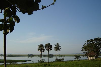
Mai-Ndombe, Administrative province in western Democratic Republic of the Congo

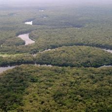
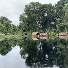
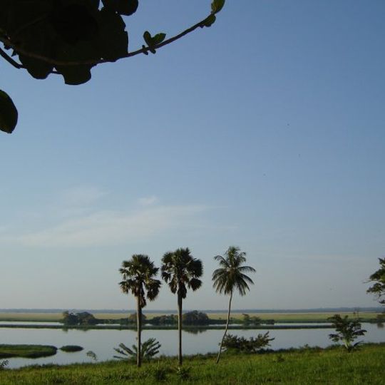
Mai-Ndombe is a province in western Democratic Republic of the Congo centered around a large lake of the same name. The region comprises eight administrative territories including Inongo, Kiri, and Kutu connected through the lake system.

The province was created in 2015 when the former Bandundu Province was split into three separate regions. The earlier Plateaux and Mai-Ndombe districts were brought together, with Inongo established as the capital.

People here speak French and Lingala, with distinct traditions across different areas of the region. The lake system connects communities and shapes how people live and interact daily.

Visitors should prepare for humid conditions and varied terrain since the region is shaped by lakes and wetlands. Accessibility changes with the seasons, and local boats are often the main way to travel around.

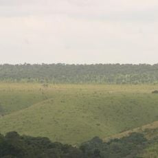
A large forest conservation area on the western shore is managed by local communities as a pioneering sustainable forest project. This initiative demonstrates how communities themselves can protect the forest while benefiting from its preservation.

The community of curious travelers

AroundUs brings together thousands of curated places, local tips, and hidden gems, enriched daily by 60,000 contributors worldwide.
Start exploring
GPS coordinates
-2.54069,18.60657
Latest update
September 12, 2026 20:16
Around this place
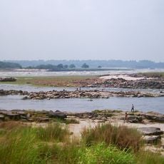
Livingstone Falls
Congo

Livingstone Falls

265 mi
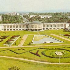
Palace of the Nation
Congo, Democratic Republic of the

Palace of the Nation

260 mi
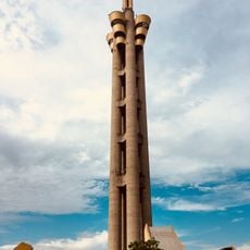
Tour de l'Échangeur de Limete
Congo, Democratic Republic of the

Tour de l'Échangeur de Limete

258.4 mi
Salonga National Park
Congo, Democratic Republic of the

Salonga National Park

230.4 mi
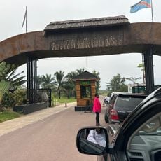
Nsele Valley Park
Congo, Democratic Republic of the

Nsele Valley Park

237.3 mi
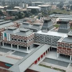
National Museum of the Democratic Republic of Congo
Congo, Democratic Republic of the

National Museum of the Democratic Republic of Congo

259.9 mi
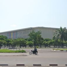
Palais du Peuple
Congo, Democratic Republic of the

Palais du Peuple

259.6 mi
Stade Municipal de Kintélé
Congo

Stade Municipal de Kintélé

252.7 mi
Nabemba Tower
Congo

Nabemba Tower

258.5 mi
Central Market, Kinshasa
Congo, Democratic Republic of the

Central Market, Kinshasa

258.3 mi
Kisantu Botanical garden
Congo, Democratic Republic of the

Kisantu Botanical garden

302.8 mi
Basilique Sainte-Anne-du-Congo de Brazzaville
Congo

Basilique Sainte-Anne-du-Congo de Brazzaville

258.6 mi
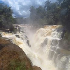
Zongo Falls
Congo, Democratic Republic of the

Zongo Falls

298.6 mi
Mbeli Bai
Congo

Mbeli Bai

365 mi
Odzala National Park
Congo

Odzala National Park

348 mi
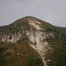
Mont Mangengenge
Congo, Democratic Republic of the

Mont Mangengenge

250 mi
Batéké Plateau National Park
Gabon

Batéké Plateau National Park

317.9 mi
Case de Gaulle
Congo

Case de Gaulle

260.5 mi
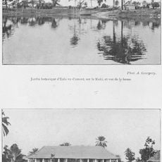
Jardin Botanique d'Eala
Congo, Democratic Republic of the

Jardin Botanique d'Eala

180.7 mi
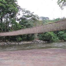
Pont de lianes de Poubara
Gabon

Pont de lianes de Poubara

354 mi
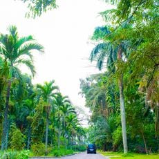
Kinshasa botanical garden
Congo, Democratic Republic of the

Kinshasa botanical garden

258.4 mi
Loufoulakari waterfalls
Congo

Loufoulakari waterfalls

285.9 mi
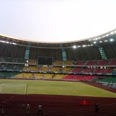
Stade 24 Novembre
Congo, Democratic Republic of the

Stade 24 Novembre

258.7 mi
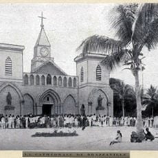
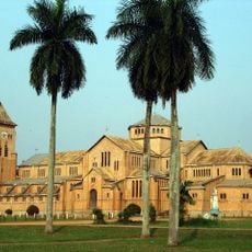
Sacred Heart Cathedral, Brazzaville
Congo

Sacred Heart Cathedral, Brazzaville

259.3 mi
Our Lady of Seven Sorrows Cathedral, Kisantu
Congo, Democratic Republic of the

Our Lady of Seven Sorrows Cathedral, Kisantu

301.9 mi
Ntokou-Pikounda National Park
Congo

Ntokou-Pikounda National Park

245.4 mi
Domaine et réserve de Bombo-Lumene
Congo, Democratic Republic of the

Domaine et réserve de Bombo-Lumene

233.3 mi
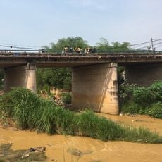
Kinsuka Bridge
Congo, Democratic Republic of the

Kinsuka Bridge

265.8 mi
Show the full map
Reviews
Share your experience

No review yet

Discussions
Start a discussion...

No discussion yet

« Mai-Ndombe - Administrative province in western Democratic Republic of the Congo » is provided by Around Us (aroundus.com). Images and texts are derived from Wikimedia project under a Creative Commons license. You are allowed to copy, distribute, and modify copies of this page, under the conditions set by the license, as long as this note is clearly visible.

Discover hidden gems everywhere you go!

From secret cafés to breathtaking viewpoints, skip the crowded tourist spots and find places that match your style. Our app makes it easy with voice search, smart filtering, route optimization, and insider tips from travelers worldwide. Download now for the complete mobile experience.
Around Us App Screenshot

A unique approach to discovering new places

Le Figaro

All the places worth exploring

France Info

A tailor-made excursion in just a few clicks

20 Minutes

Around Us
Travel Guide & Maps
Download

Send to your phone

QR Code
1

Open the camera app on your mobile.

2

Point at the QR code with your camera. A notification will appear.

3

Tap the notification to open the link.