Antsirabe, Industrial city in central Madagascar.
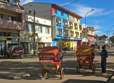
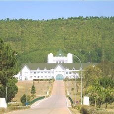
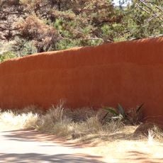
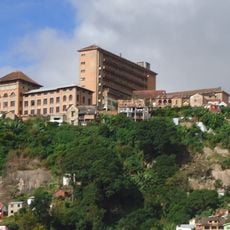
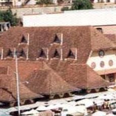
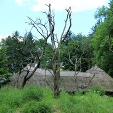
Antsirabe is a city in central Madagascar's highlands, built on volcanic terrain at around 1500 meters elevation. It features tree-lined streets, natural thermal springs scattered throughout the area, and a busy central market that drives regional commerce.
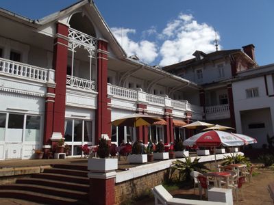
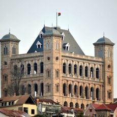
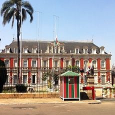
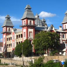
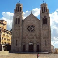
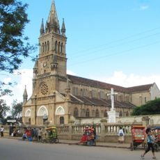
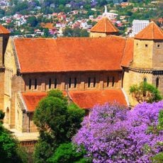
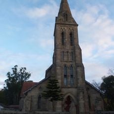
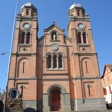
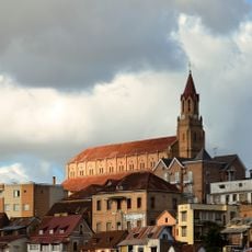
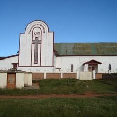
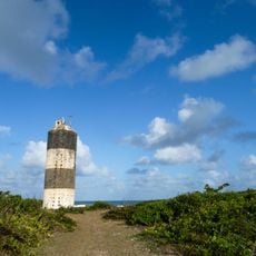
Norwegian missionaries founded the city in 1872, and it later grew into Madagascar's third-largest urban center. French colonial influence shaped much of its architecture, which remains visible in many buildings throughout the city today.
The streets show traditional craftsmanship, with woven fibers and zebu horn objects created by local artisans. These handmade items are part of daily commerce and reflect how time-honored skills remain present in the community today.
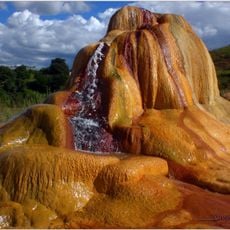
The city has several thermal springs with therapeutic properties that are accessible to visitors. The central market offers fresh produce and regional goods, and the city is best explored on foot to see how people move through its streets.
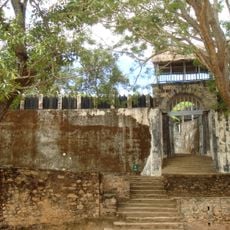
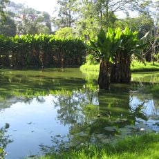
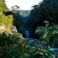
Two volcanic lakes, Andraikiba and Tritriva, lie nearby and are connected to old stories in local traditions. Visitors can see these naturally formed lakes and learn about the narratives that locals have passed down through generations.
Location: Madagascar
Inception: 1872
Elevation above the sea: 1,500 m
GPS coordinates: -19.87140,47.03467
Latest update: December 7, 2025 10:07
Rova of Antananarivo
117.7 km
Ambohimanga
136.1 km
Ranomafana National Park
156.1 km
Iavoloha Palace
109.7 km
Mahamasina Municipal Stadium
117.8 km
Ambohitsorohitra Palace
118.6 km
Peyrieras Reptile Reserve
132.5 km
Andafiavaratra Palace
118 km
Lemurs' Park
107.8 km
Botanical and Zoological Garden of Tsimbazaza
116.8 km
Immaculate Conception Cathedral, Antananarivo
118.2 km
Zoma
119.1 km
Our Lady of La Salette Cathedral, Antsirabé
93 m
Lycée Andohalo Antananarivo
118.2 km
Saint Laurent's Cathedral, Ambohimanoro
118.3 km
Andriamamovoka Falls
159.1 km
FJKM Rasalama Maritiora Ambohipotsy
117 km
Cathédrale du Saint-Nom-de-Jésus
176.7 km
EKAR Faravohitra
118.9 km
Croc Farm Ivato
129 km
Temple FJKM de Faravohitra
119.1 km
Parc Botanique et Zoologique de Tsimbazaza
116.8 km
Lemurs Park
107.9 km
Réserve Peyrieras
142 km
Tranompokonolona Analakely
119 km
Lemur Island
182.9 km
Andranomandroatra Analavory Geysers
113.1 km
Mananjary Transverse Range Front Lighthouse
203.5 kmVisited this place? Tap the stars to rate it and share your experience / photos with the community! Try now! You can cancel it anytime.
Discover hidden gems everywhere you go!
From secret cafés to breathtaking viewpoints, skip the crowded tourist spots and find places that match your style. Our app makes it easy with voice search, smart filtering, route optimization, and insider tips from travelers worldwide. Download now for the complete mobile experience.
A unique approach to discovering new places❞
— Le Figaro
All the places worth exploring❞
— France Info
A tailor-made excursion in just a few clicks❞
— 20 Minutes