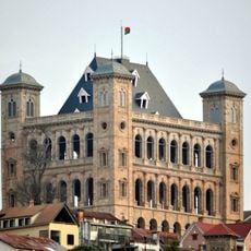
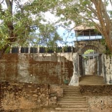
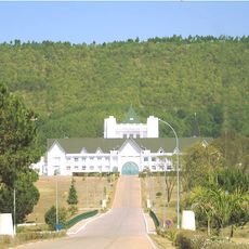
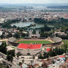
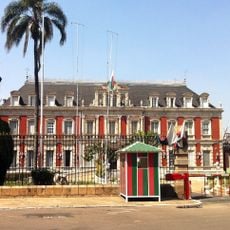
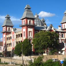
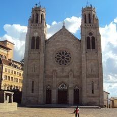
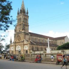
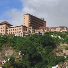
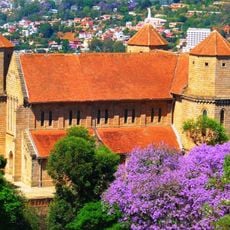
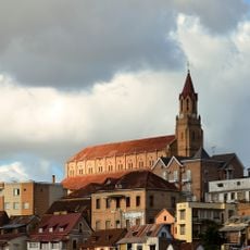
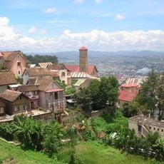
Antananarivo-Renivohitra District, human settlement in Madagascar
Location: Analamanga
Capital city: Antananarivo
GPS coordinates: -18.96049,47.56613
Latest update: March 3, 2025 04:59
Rova of Antananarivo
5.4 km
Ambohimanga
23.5 km
Ranomafana National Park
251.5 km
Iavoloha Palace
6.2 km
Mahamasina Municipal Stadium
6.2 km
Ambohitsorohitra Palace
7 km
Zahamena National Park
197.4 km
Peyrieras Reptile Reserve
24.2 km
Andafiavaratra Palace
5.6 km
Lemurs' Park
22 km
Botanical and Zoological Garden of Tsimbazaza
5.4 km
Immaculate Conception Cathedral, Antananarivo
6 km
Zoma
7.6 km
Our Lady of La Salette Cathedral, Antsirabé
115.6 km
Lycée Andohalo Antananarivo
6 km
Leuchtturm l'île aux Prunes
224.2 km
Saint Laurent's Cathedral, Ambohimanoro
5.9 km
Andriamamovoka Falls
255.8 km
FJKM Rasalama Maritiora Ambohipotsy
4.8 km
Betsiboka Bridge
234.4 km
EKAR Faravohitra
6.1 km
Croc Farm Ivato
22.2 km
Temple FJKM de Faravohitra
6.8 km
Tranompokonolona Analakely
7.1 km
Lemur Island
91.4 km
Andranomandroatra Analavory Geysers
97.6 km
Mananjary Transverse Range Front Lighthouse
264.5 km
Ville haute d'Antananarivo
5.5 kmReviews
Visited this place? Tap the stars to rate it and share your experience / photos with the community! Try now! You can cancel it anytime.
Discover hidden gems everywhere you go!
From secret cafés to breathtaking viewpoints, skip the crowded tourist spots and find places that match your style. Our app makes it easy with voice search, smart filtering, route optimization, and insider tips from travelers worldwide. Download now for the complete mobile experience.
A unique approach to discovering new places❞
— Le Figaro
All the places worth exploring❞
— France Info
A tailor-made excursion in just a few clicks❞
— 20 Minutes