
Eráti District, District in the Nampula Province, Mozambique
Location: Nampula Province
Capital city: Namapa
GPS coordinates: -14.05000,39.45000
Latest update: March 6, 2025 17:51


Mount Mabu
412.8 km
Niassa Reserve
372.3 km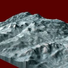
Mount Namuli
295.6 km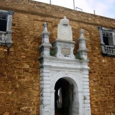
Fort São Sebastião
176.9 km
Quirimbas National Park
238.5 km
Mozambique Island Bridge
175.1 km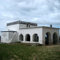
Chapel of Nossa Senhora de Baluarte
177 km
Chocas Mar
170.3 km
National Museum of Ethnography Nampula
120.6 km
Jesuit College and Chapel of Saint Paul (Governor’s Palace)
176.6 km
Our Lady of Fatima Cathedral
120.5 km
Ibo fortresses
226.6 km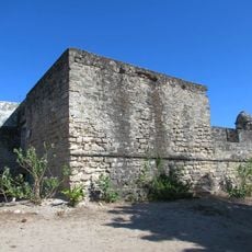
Fortim de São José do Ibo
226.1 km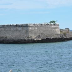
Fort São Lourenço
177 km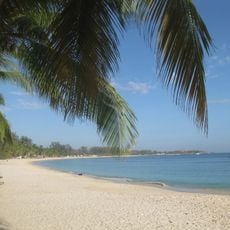
Wimbe Beach
168.2 km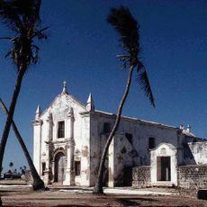
Church Saint Anthony
176.9 km
Tambuzi Island
325.2 km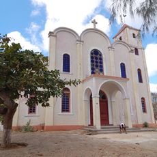
St. Paul's Cathedral, Pemba
165.5 km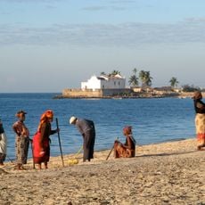
Fort Saint Anthony
177 km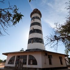
Pinda Lighthouse
137.5 km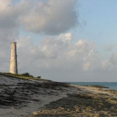
Medjumbe Lighthouse
278.6 km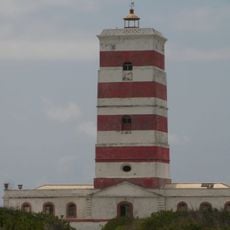
Lighthouse on Goa island
182.4 km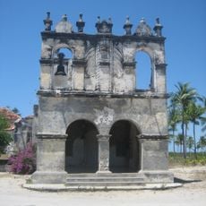
Church of Our Lady of Remedy (Cabaceira Grande)
172.8 km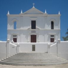
Church of Our Lady of Health
176.5 km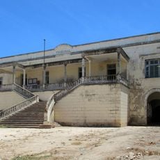
Courthouse, Ilha de Moçambique
176.6 km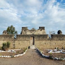
Santo Antonio Fort
226.5 km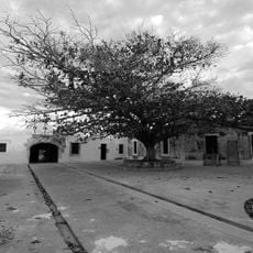
São João Batista do Ibo Fortress
226.6 km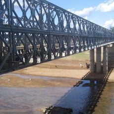
Phalombe bridge longest
445.8 kmReviews
Visited this place? Tap the stars to rate it and share your experience / photos with the community! Try now! You can cancel it anytime.
Discover hidden gems everywhere you go!
From secret cafés to breathtaking viewpoints, skip the crowded tourist spots and find places that match your style. Our app makes it easy with voice search, smart filtering, route optimization, and insider tips from travelers worldwide. Download now for the complete mobile experience.

A unique approach to discovering new places❞
— Le Figaro
All the places worth exploring❞
— France Info
A tailor-made excursion in just a few clicks❞
— 20 Minutes