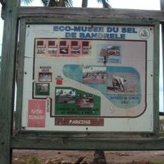
Comoros Islands, Volcanic archipelago in Indian Ocean, Comoros.
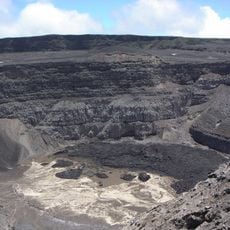
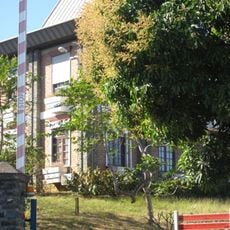
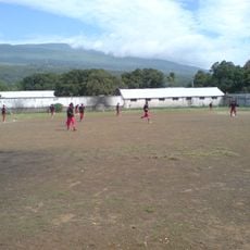
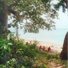
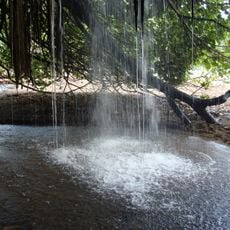
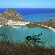
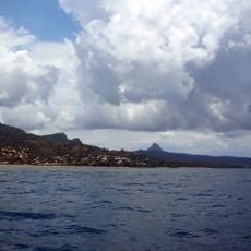
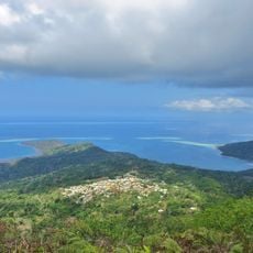
The Comoros Islands form a chain in the Mozambique Channel between mainland Africa's east coast and Madagascar, made up of four main volcanic formations. The landscape shifts from steep mountain slopes with thick rainforest to coastal plains dotted with palm groves and black or white sand beaches meeting turquoise water.
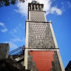
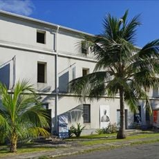
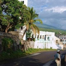
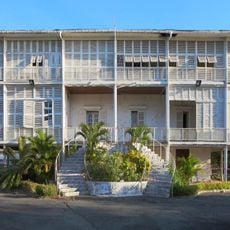
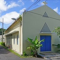
Arab traders reached the islands in the 9th century and brought Islam, while settlers from Madagascar and the African coast later joined. France gradually took control of the archipelago starting in 1886, until three islands gained independence in 1975.
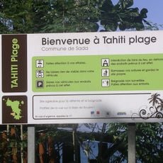
Residents speak primarily Comorian, a Swahili variant mixed with Arabic, Malagasy and French words, heard in mosques and marketplaces. Women often wear facial masks decorated with sandalwood paste and colorful wrap cloths, while men favor white kaftans and embroidered caps.
Volcanic activity on Grande Comore requires attention to local warnings, while steep mountain trails demand sturdy footwear and good fitness. Boat connections between islands depend on weather, so plan flexibly and allow several days as a buffer.
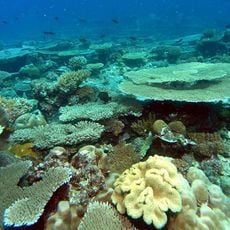
A living fossil fish called the coelacanth swims in deep waters around the islands and was rediscovered only in 1938 after being thought extinct for ages. Fishermen occasionally encounter this ancient creature during nighttime deep-water catches.
The community of curious travelers
AroundUs brings together thousands of curated places, local tips, and hidden gems, enriched daily by 60,000 contributors worldwide.