
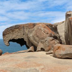
Cape Borda, locality in South Australia
Location: Kangaroo Island Council
GPS coordinates: -35.75380,136.71145
Latest update: April 8, 2025 05:41
Flinders Chase National Park
24.7 km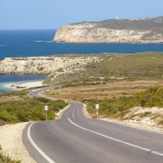
Dhilba Guuranda-Innes National Park
61 km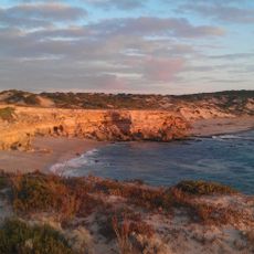
Lincoln National Park
127.9 km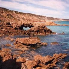
Emu Bay Shale
73.8 km
Seal Bay Conservation Park
64.8 km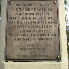
Karoonda meteorite
102 km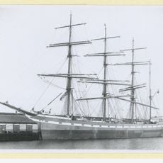
Hougomont
56.7 km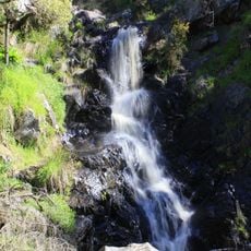
Ingalalla Waterfalls
149.6 km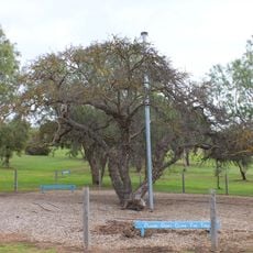
Old Mulberry Tree at Reeves Point
84.8 km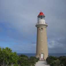
Cape du Couedic Lighthouse
33.9 km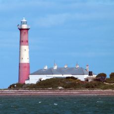
Troubridge Island Lighthouse
123.6 km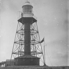
South Neptune Island Lighthouse
71 km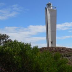
Cape Jervis Lighthouse
126.2 km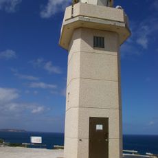
Cape Spencer Lighthouse
53 km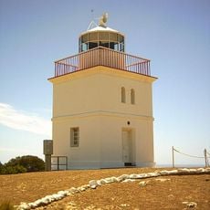
Cape Borda Lightstation
11.4 km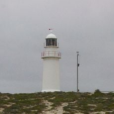
Corny Point Lighthouse
99.2 km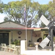
Bublacowie Military Museum
123.5 km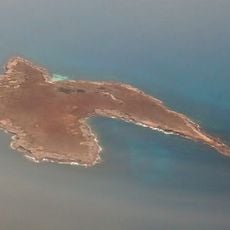
Stickney Island
126.4 km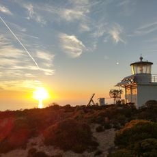
Wedge Island lighthouse
67.8 km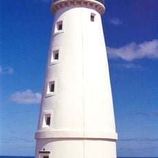
Cape Willoughby Lighthouse
128.7 km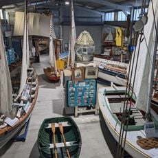
Axel Stenross Maritime Museum
140.4 km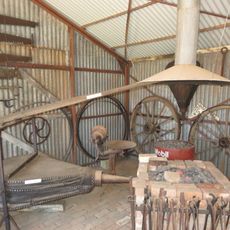
Hope Cottage-National Trust
84.3 km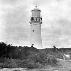
Althorpe Island Lighthouse
44.6 km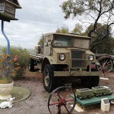
Bublacowie Military Museum
123.4 km
Lot 1 Fishery Bay
132.3 km
Cape St Albans lighthouse
127.8 km
Red Banks Beach
135.6 km
Lone Pine Lookout
134 kmReviews
Visited this place? Tap the stars to rate it and share your experience / photos with the community! Try now! You can cancel it anytime.
Discover hidden gems everywhere you go!
From secret cafés to breathtaking viewpoints, skip the crowded tourist spots and find places that match your style. Our app makes it easy with voice search, smart filtering, route optimization, and insider tips from travelers worldwide. Download now for the complete mobile experience.

A unique approach to discovering new places❞
— Le Figaro
All the places worth exploring❞
— France Info
A tailor-made excursion in just a few clicks❞
— 20 Minutes