
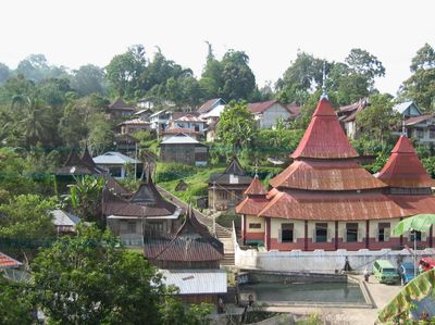
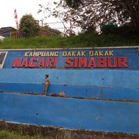
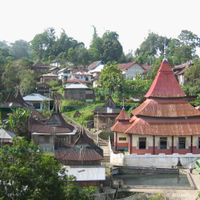
Pariangan, district in Tanah Datar Regency, West Sumatra Province, Indonesia
Location: Tanah Datar
Elevation above the sea: 744 m
GPS coordinates: -0.46528,100.51389
Latest update: March 12, 2025 11:39
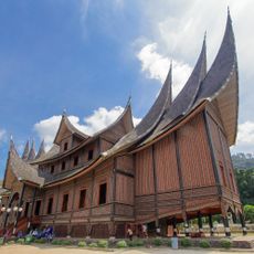
Pagaruyung Palace
12 km
Marapi
10.4 km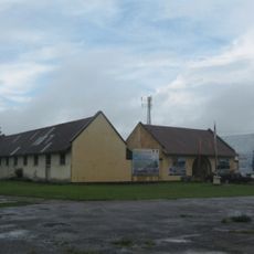
Fort van der Capellen
9 km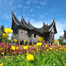
Silinduang Bulan Palace
11.3 km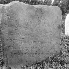
Saruaso II inscription
13.7 km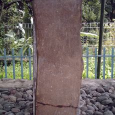
Prasasti Kuburajo I
6.4 km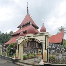
Asasi Mosque
9.7 km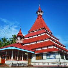
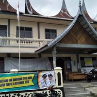
Lima Kaum Mosque
6 km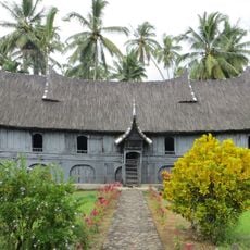
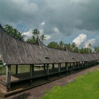
Rumah Gadang Kampai Nan Panjang
8.9 km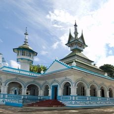
Rao Rao Mosque
11.2 km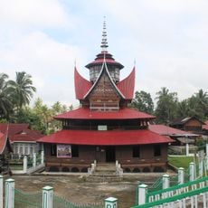
Lubuk Bauk Mosque
6.5 km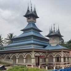
Saadah Mosque
5.5 km
Balairung Sari Tabek
1.2 km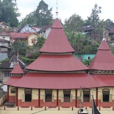
Ishlah Pariangan Mosque
2.7 km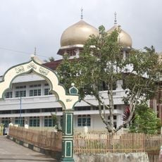
Jamik Sungai Jambu Mosque
2.9 km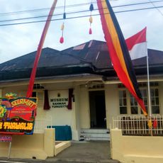
Rahmah El Yunusiyah Museum
12.9 km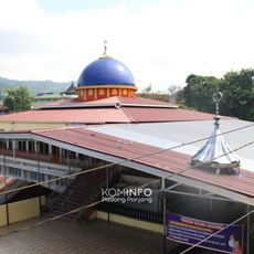
Masjid Zu'ama Jembatan Besi
12.8 km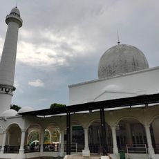
Nurul Amin Pagaruyung Mosque
12.2 km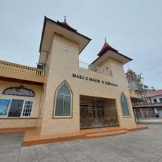
Masjid Makmur Simabur
609 m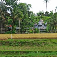
Surau Syekh Abdurrahman Al-Khalidi
10.6 km
Masjid Nurul Iman Bungo Tanjuang
5.4 km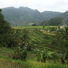
Terraced rice fields
2.1 km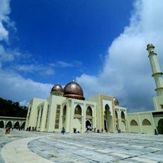
Islamic Center Padang Panjang
11.6 km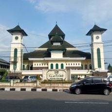
Jihaadu Waalidaina Mosque
12.6 km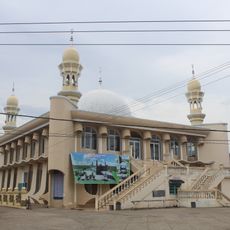
Saruaso Grand Mosque
13.7 km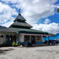
Masjid Jamik Nurul Huda
10.2 km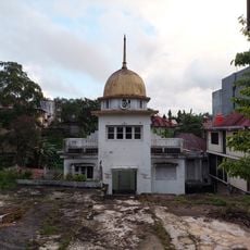
Musala Nurshalihin
12.5 km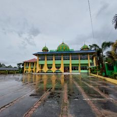
Masjid Jamik Sumanik
11.8 kmReviews
Visited this place? Tap the stars to rate it and share your experience / photos with the community! Try now! You can cancel it anytime.

Discover hidden gems everywhere you go!
From secret cafés to breathtaking viewpoints, skip the crowded tourist spots and find places that match your style. Our app makes it easy with voice search, smart filtering, route optimization, and insider tips from travelers worldwide. Download now for the complete mobile experience.

A unique approach to discovering new places❞
— Le Figaro
All the places worth exploring❞
— France Info
A tailor-made excursion in just a few clicks❞
— 20 Minutes