Enable Location

We need your location to show you interesting places around you

Discover nearby places

Find interesting locations and hidden gems around you

Precise directions

Get accurate directions and distances to places

Your location is never shared with other users. It's only used when you tap the location button.

Tanah Datar

Log in to your account

Start exploring — it's free

Trusted by 61,787 travelers worldwide

Continue with Google
Continue with Apple
or

We will send you a code to connect

By continuing, you accept our Terms and Conditions and our Privacy Policy

Check your inbox

We've sent a pincode in your inbox. Please enter the code below.

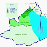
Tanah Datar, Administrative region in West Sumatra, Indonesia

Description

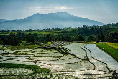
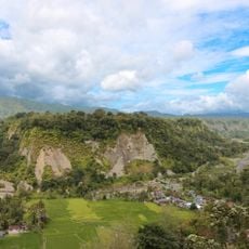
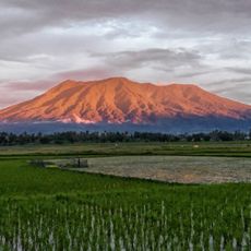
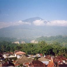
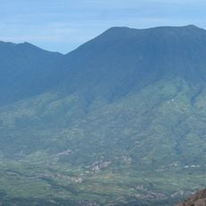
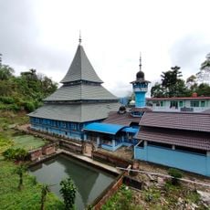
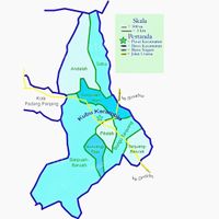
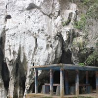
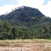
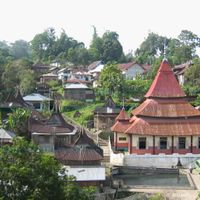
Tanah Datar is a regency in West Sumatra situated between two volcanic peaks, with terrain that includes lakes, forests, and extensive farmland throughout its area. The region combines inhabited villages and towns with large rural zones where rice paddies and plantations shape the landscape.

History

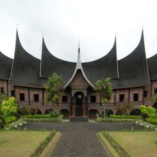
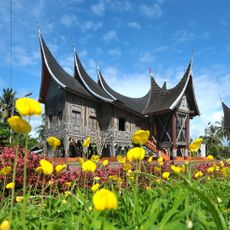
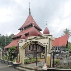
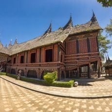
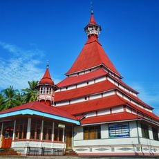
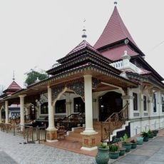
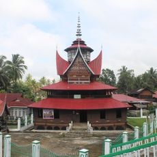
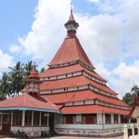
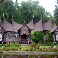
The area became an important administrative center in the 14th century when Pagaruyung Palace served as the seat of Minangkabau royal authority. This early role as a center of power influenced how the region developed over the following centuries.

Culture

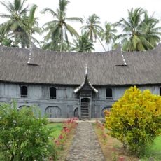
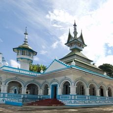
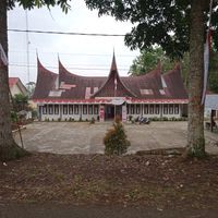
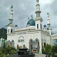
The communities here maintain Minangkabau traditions through activities like songket textile weaving and ceremonial horse races that happen throughout the year. These practices remain central to how local people express their identity and gather together.

Practical

The region experiences cool to warm temperatures depending on elevation, with heavy rains concentrated between September and February in most areas. Visitors planning trips during the wet season should bring appropriate rain gear and expect muddy conditions on rural roads.

Did you know?

Agriculture drives the local economy here, with rice farming, coconut plantations, fish farming, and livestock raising as the main activities supporting most residents. This agricultural focus offers visitors a chance to see how daily work and livelihood shape rural communities.

Location
Capital city
Batusangkar
Elevation above the sea
510 m
Shares border with
Padang Panjang, Sijunjung, Sawahlunto, Solok, Padang Pariaman, Agam, Lima Puluh Kota
GPS coordinates
-0.45000,100.58300
Latest update
December 20, 2025 13:03

AroundUs brings together thousands of curated places, local tips, and hidden gems, enriched daily by 60,000 contributors worldwide. Discover all places nearby (West Sumatra).

« Tanah Datar - Administrative region in West Sumatra, Indonesia » is provided by Around Us (aroundus.com). Images and texts are derived from Wikimedia project under a Creative Commons license. You are allowed to copy, distribute, and modify copies of this page, under the conditions set by the license, as long as this note is clearly visible.

Discover hidden gems everywhere you go!

From secret cafés to breathtaking viewpoints, skip the crowded tourist spots and find places that match your style. Our app makes it easy with voice search, smart filtering, route optimization, and insider tips from travelers worldwide. Download now for the complete mobile experience.

Around Us App Screenshot

A unique approach to discovering new places

Le Figaro

All the places worth exploring

France Info

A tailor-made excursion in just a few clicks

20 Minutes

Around Us
Travel Guide & Maps
Download

Send to your phone

QR Code
1

Open the camera app on your mobile.

2

Point at the QR code with your camera. A notification will appear.

3

Tap the notification to open the link.