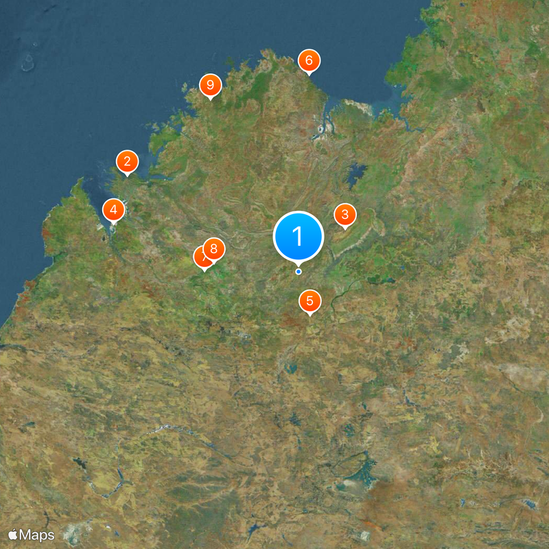
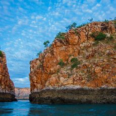
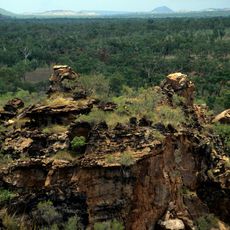
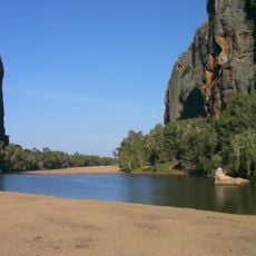
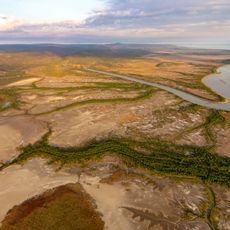
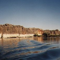
Canning Stock Route, Desert track between Halls Creek and Wiluna, Western Australia.
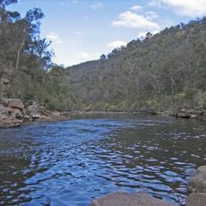
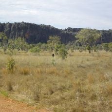
The Canning Stock Route is a track extending nearly 2,000 kilometers across desert terrain in Western Australia, connecting Halls Creek and Wiluna. It crosses numerous sand dunes and passes water wells spaced at intervals to provide travelers with access to supplies.
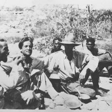
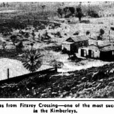
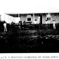
The route began in the early 1900s as a way to drive cattle from northern grazing lands to southern markets. Local knowledge proved essential for identifying and securing water sources along the remote desert path.
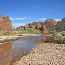
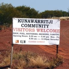
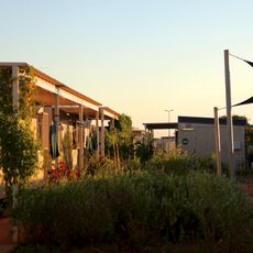
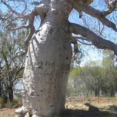
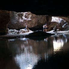
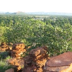
The track passes through lands managed by Aboriginal communities who maintain deep knowledge of the desert's water sources and seasonal patterns. These places remain important gathering points where local people connect with their heritage and the natural landscape.
Visitors need a four-wheel drive vehicle and must carry ample supplies, as assistance is many hours away on this remote route. Travel is most feasible during the middle months of the year when desert conditions are less severe.
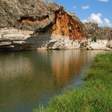
The 51 wells were hand-dug and remain at their original locations more than a century later, distributed across the entire length of the route. These water sources represent both an engineering effort and a testament to careful planning from the earliest days of travel here.
The community of curious travelers
AroundUs brings together thousands of curated places, local tips, and hidden gems, enriched daily by 60,000 contributors worldwide.