Cipayung, Administrative district in East Jakarta, Indonesia
Cipayung is an administrative district on Jakarta's southeastern edge, bounded by Pondok Gede Raya Road to the north and the Jagorawi Tollway to the west. It consists of eight villages—Lubang Buaya, Ceger, Cipayung, Munjul, Pondok Ranggon, Cilangkap, Setu, and Bambu Apus—each serving local communities with separate administrative functions.
The name comes from Sundanese language roots, where 'Ci' means water and 'Payung' means shade, reflecting the area's original natural landscape. Over time, the region developed from rural surroundings into a more populated district as Jakarta expanded toward the southeast.
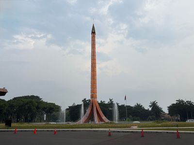
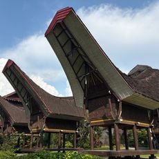
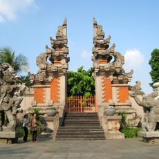
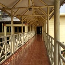
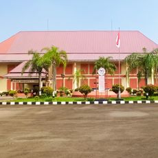
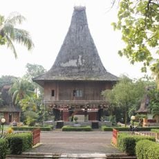
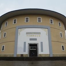
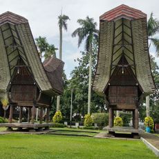
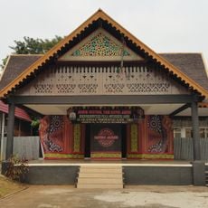
The district is home to Taman Mini Indonesia Indah, a cultural park where you can walk through reproductions of traditional houses and see crafts, performances, and customs from across Indonesia's many regions.
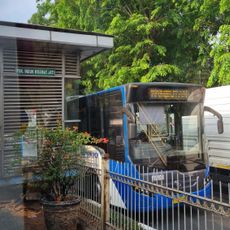
The district is accessible by public transport, including buses and minibuses that connect different villages, making it easy to move around. Plan your visits to attractions and local markets during less crowded times if you prefer a more relaxed experience.
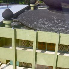
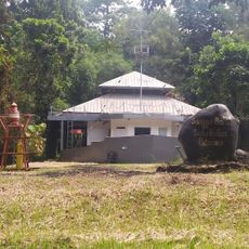
The Pondok Ranggon section contains three flood control reservoirs surrounded by green gardens and walking paths where locals enjoy spending time. These water bodies serve a practical purpose in managing rainfall while also creating unexpected green spaces for recreation within the urban district.
The community of curious travelers
AroundUs brings together thousands of curated places, local tips, and hidden gems, enriched daily by 60,000 contributors worldwide.