
Kayangan, district in North Lombok Regency, West Nusa Tenggara Province, Indonesia
Location: North Lombok
Elevation above the sea: 630 m
GPS coordinates: -8.25872,116.26103
Latest update: March 14, 2025 21:05
Rinjani
27.6 km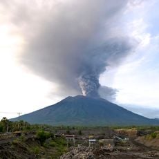
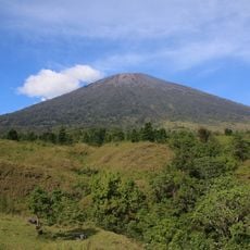
Mount Agung
83.6 km
Besakih
90 km
Pura Penataran Agung Lempuyang
71 km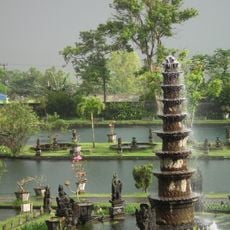
Tirta Gangga
76.2 km
Pantai Senggigi
35.7 km
Mount Rinjani National Park
23.8 km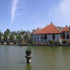
Ujung Water Palace
73 km
Narmada Palace
38 km
Pura Lempuyang Luhur
71 km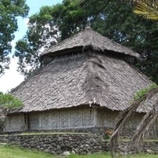
Bayan Beleq Mosque
18.3 km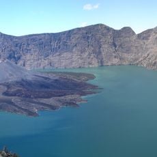
Caldeira Segara Anak
23.7 km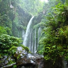
Tiu Kelep Waterfall
17 km
Taman Mayura
39.1 km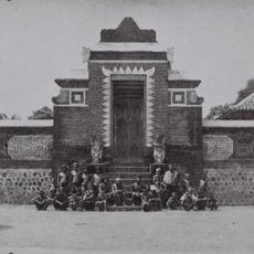
Pura Lingsar
36.4 km
Darussalam Great Mosque
85.2 km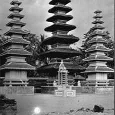
Pura Meru
39.3 km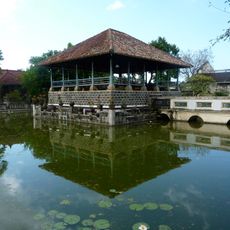
Puri Agung Karangasem
73.9 km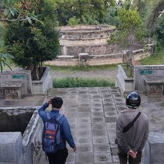
Taman Sekuta
74.7 km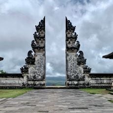
Lempuyang Gate of Heaven
71 km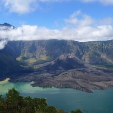
Rinjani-Lombok
56 km
Pura Gelap
89.7 km
Pura Pasar Agung Giri Tolangkir
84.4 km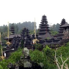
Pura Batu Madeg
89.9 km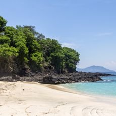
Bias Tugel Beach
88.4 km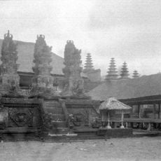
Pura Penataran Agung Besakih
90 km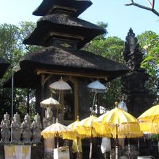
Pura Silayukti
87.8 km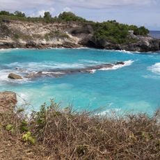
Blue Lagoon
87.7 kmReviews
Visited this place? Tap the stars to rate it and share your experience / photos with the community! Try now! You can cancel it anytime.
Discover hidden gems everywhere you go!
From secret cafés to breathtaking viewpoints, skip the crowded tourist spots and find places that match your style. Our app makes it easy with voice search, smart filtering, route optimization, and insider tips from travelers worldwide. Download now for the complete mobile experience.

A unique approach to discovering new places❞
— Le Figaro
All the places worth exploring❞
— France Info
A tailor-made excursion in just a few clicks❞
— 20 Minutes