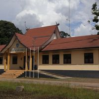
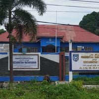
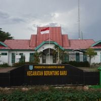
Banjar, Administrative region in South Kalimantan, Indonesia
Banjar is an administrative region in South Kalimantan that surrounds the city of Banjarmasin and covers approximately 4,668 square kilometers (1,802 square miles). The area is crossed by waterways winding through tropical landscapes and contains diamond mines along with numerous river channels that shape the terrain.
The region took its current form after 1999 when administrative reorganization occurred and the city of Banjarbaru became an independent administrative unit. This change shaped the modern boundaries and governance structure that define the area today.
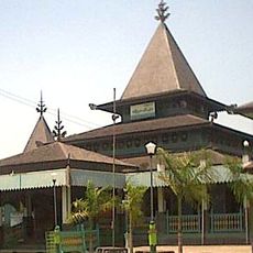
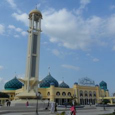
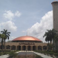
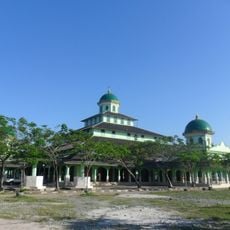
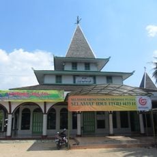
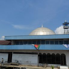
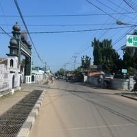
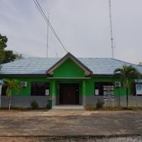
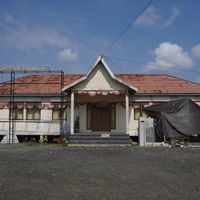
The local population practices Islamic traditions that shape everyday life and appear in the architecture and customs throughout the region. Visitors will notice how religion influences daily rhythms, from prayer times to celebrations that bring communities together across the area.
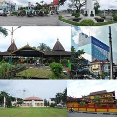
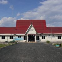
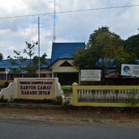
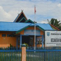
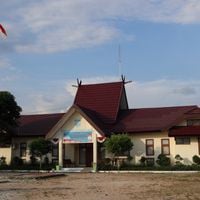
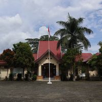
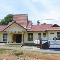
The region divides into twenty districts spread across three geographic areas: western sections near Banjarmasin, central parts around Martapura, and larger eastern territories. Understanding this basic layout helps with navigation, and you will notice clear differences between the more developed western areas and the less populated eastern zones.
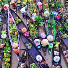
The Lok Baintan Floating Market displays local trading traditions where vendors conduct commerce from wooden boats along the river channels. This market preserves an ancient way of buying and selling that has been practiced in these waterways for generations, offering visitors a glimpse into the water-based lifestyle.
The community of curious travelers
AroundUs brings together thousands of curated places, local tips, and hidden gems, enriched daily by 60,000 contributors worldwide.