
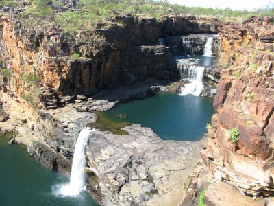
Mitchell Falls, شلال في أستراليا الغربية
Location: Western Australia
Elevation above the sea: 124 m
GPS coordinates: -14.82247,125.69510
Latest update: March 5, 2025 07:16

Canning Stock Route
437.4 km
Horizontal Falls
254.4 km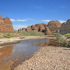
Purnululu National Park
422.4 km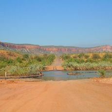
Gibb River Road
167.6 km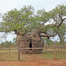
Boab Prison Tree, Derby
354.9 km
1932 Kimberley rescue
231 km
Gogo Station
386.4 km
Fossil Downs Station
369.3 km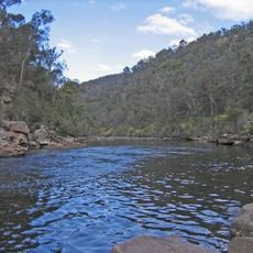
Mitchell River National Park
1.8 km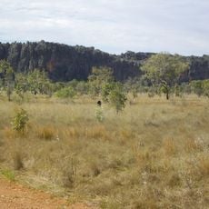
Windjana Gorge
298.5 km
Curtin Immigration Reception and Processing Centre
368.9 km
Keep River National Park
385.1 km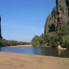
Windjana Gorge National Park
299.2 km
Prince Regent National Park
76.4 km
Tunnel Creek National Park
315.9 km
Drysdale River National Park
118 km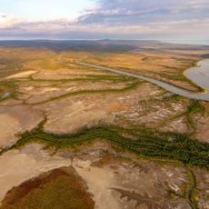
Walcott Inlet
210.7 km
Geikie Gorge National Park
361.9 km
Geikie Gorge
361.9 km
Ashmore Reef Marine Park
402.4 km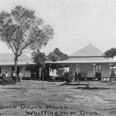
Alice Downs
405.1 km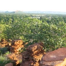
Mirima National Park
346.1 km
Marion Downs Sanctuary
310 km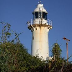
Cape Leveque Lighthouse
344.4 km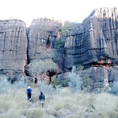
Mimbi Caves
438.6 km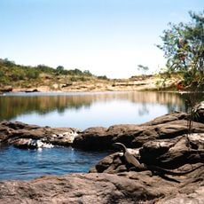
Manning Gorge
203.4 km
Coulomb Point Nature Reserve
461.5 km
China Wall (Halls Creek)
438.6 kmReviews
Visited this place? Tap the stars to rate it and share your experience / photos with the community! Try now! You can cancel it anytime.
Discover hidden gems everywhere you go!
From secret cafés to breathtaking viewpoints, skip the crowded tourist spots and find places that match your style. Our app makes it easy with voice search, smart filtering, route optimization, and insider tips from travelers worldwide. Download now for the complete mobile experience.

A unique approach to discovering new places❞
— Le Figaro
All the places worth exploring❞
— France Info
A tailor-made excursion in just a few clicks❞
— 20 Minutes