Dutch East Indies, Historical country in Maritime Southeast Asia.
The Dutch East Indies encompassed thousands of islands across the Indonesian archipelago, stretching from Sumatra to New Guinea and creating a vast territory with diverse landscapes. The colony was marked by plantations, ports, and administrative centers that mixed European and local architectural styles.
The territory evolved from trading posts of the Dutch East India Company, which came under state control in 1800 following the company's bankruptcy. The colonial administration consolidated its power over more than a century, shaping the region until independence arrived.
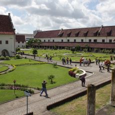
The Dutch administration created strict social divisions, separating Europeans, local people, and other ethnic groups into distinct residential areas. Visitors can still observe the spatial effects of this segregation in the urban layouts and architectural styles of former colonial cities today.
Batavia, now Jakarta, served as the administrative hub with canals and fortified walls that structured the city. The island group was connected through ports and shipping, and travel between different regions required ships and took considerable time.
The colony generated substantial wealth through a Cultivation System that required farmers to dedicate portions of their land to export crops like coffee and sugar. This system fundamentally altered agriculture and people's lives on the islands for generations to come.
The community of curious travelers
AroundUs brings together thousands of curated places, local tips, and hidden gems, enriched daily by 60,000 contributors worldwide.