Enable Location

We need your location to show you interesting places around you

Discover nearby places

Find interesting locations and hidden gems around you

Precise directions

Get accurate directions and distances to places

Your location is never shared with other users. It's only used when you tap the location button.

Mount Matebean Mane

Log in to your account

Start exploring — it's free

Trusted by 62,879 travelers worldwide

Continue with Google
Continue with Apple
or

We will send you a code to connect

By continuing, you accept our Terms and Conditions and our Privacy Policy

Check your inbox

We've sent a pincode in your inbox. Please enter the code below.

Mount Matebean Mane

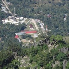
Mount Matebean Mane, Mountain summit in Baucau region, Timor-Leste.

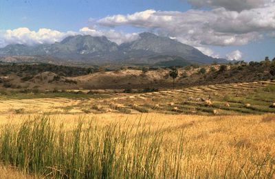
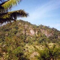
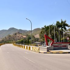
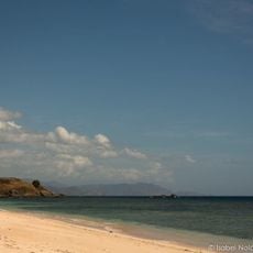
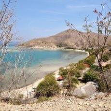
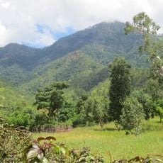
Mount Matebean Mane is a 2,372-meter summit in the Baucau region featuring limestone formations and steep slopes covered with eucalyptus groves and gardens. From the top, you can see across the surrounding landscape in all directions.

The mountain provided shelter for East Timorese resistance fighters during the Indonesian occupation from 1975 to 1999. Numerous caves in the rock formations served as hideouts for those fighting for independence.

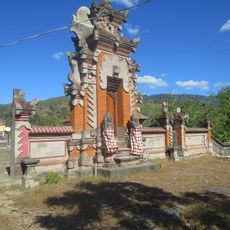
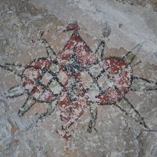
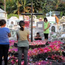
The name Matebean means "Spirits of the Dead" in local language, reflecting the belief that the mountain serves as a resting place for departed souls. You can sense this spiritual significance in the prayers and ceremonies that local communities regularly perform here.

The best time to climb is from August to October, when cloud cover is minimal and visibility across the landscape remains clear. During these months, visitors can tackle the route under better conditions.

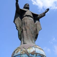
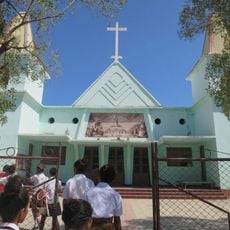
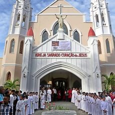
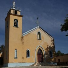
At the summit stands a small chapel and statue of Christ where the community gathers each year. These structures show the deep connection between faith and nature for people in this region.

The community of curious travelers

AroundUs brings together thousands of curated places, local tips, and hidden gems, enriched daily by 60,000 contributors worldwide.

Start exploring
GPS coordinates
-8.64152,126.59655
Latest update
December 14, 2025 11:24
« Mount Matebean Mane - Mountain summit in Baucau region, Timor-Leste » is provided by Around Us (aroundus.com). Images and texts are derived from Wikimedia project under a Creative Commons license. You are allowed to copy, distribute, and modify copies of this page, under the conditions set by the license, as long as this note is clearly visible.

Discover hidden gems everywhere you go!

From secret cafés to breathtaking viewpoints, skip the crowded tourist spots and find places that match your style. Our app makes it easy with voice search, smart filtering, route optimization, and insider tips from travelers worldwide. Download now for the complete mobile experience.

Around Us App Screenshot

A unique approach to discovering new places

Le Figaro

All the places worth exploring

France Info

A tailor-made excursion in just a few clicks

20 Minutes

Around Us
Travel Guide & Maps
Download

Send to your phone

QR Code
1

Open the camera app on your mobile.

2

Point at the QR code with your camera. A notification will appear.

3

Tap the notification to open the link.