Nino Konis Santana National Park, National park in eastern Timor-Leste
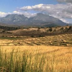
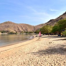
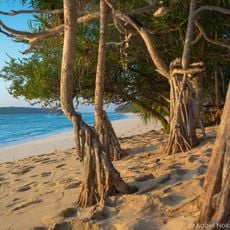
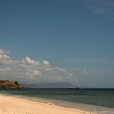
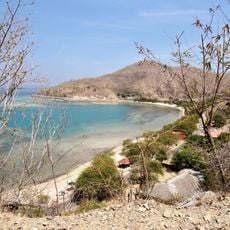
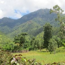
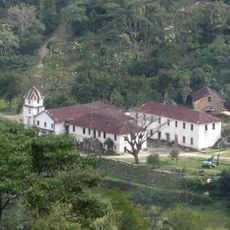
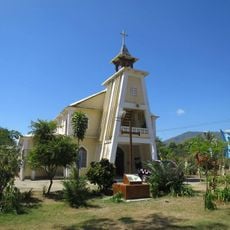
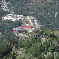
Nino Konis Santana National Park covers 123,600 hectares at the eastern tip of Timor-Leste, with 68,000 hectares of land and 55,600 hectares of sea. The land includes the Paitchau limestone range with caves and sinkholes, the Fuiloro Plateau, Lake Ira Lalaro, and white-sand beaches; the marine area lies within the Coral Triangle.
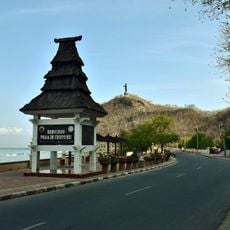
Tutuala beach and its adjoining forest became a wild protection area in 2000 under UNTAET Regulation 2000/19. The national park was declared on 27 July 2007 and formally inaugurated on 4 August 2008, with BirdLife International and New South Wales' environment department assisting. Excavations at Jerimalai rock shelter date occupation to more than 40,000 years BP, and Matja Kuru 2 to 32,000 years BP.
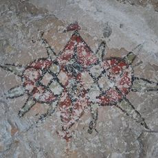
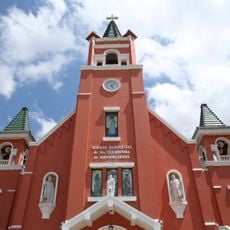
The park holds deep significance for the Fataluku people, with more than 200 identifiable sites including ancient settlements, burial grounds, and places where traditional ceremonies still occur. Walking through these areas reveals how the community continues to value its connection to this land.
Visit during the dry season when hiking trails and diving conditions are at their best. The park is remote and requires careful planning, so travelers should prepare for limited infrastructure and arrange accommodations well in advance.
Lake Ira Lalaro holds a freshwater turtle described in 2007 as a Timor subspecies of McCord's snake-necked turtle, sitting between the Rote Island form and Chelodina novaeguineae from New Guinea; some researchers treat it as its own species, Chelodina timorensis. The stream Irasiquero, which drains the lake and vanishes into the sacred Mainina sinkhole, is the only known home of the fish Craterocephalus laisapi, found by science in 2005 and one of just two freshwater fish species native to Timor.
The community of curious travelers
AroundUs brings together thousands of curated places, local tips, and hidden gems, enriched daily by 93,626 contributors worldwide.