
Riangbaring, village in Flores Timur, East Nusa Tenggara Province, Indonesia
Location: Ile Bura
Elevation above the sea: 498 m
GPS coordinates: -8.60723,122.77961
Latest update: March 3, 2025 09:52

Keli Mutubuurai
107.8 km
Liang Bua
255.4 km
Taka Bone Rate National Park
279.6 km
Kelimutu National Park
104.2 km
Lewotolo
88.2 km
Rokatenda
122.3 km
Mount Egon
36.9 km
Keli Ebulobo
176.3 km
Mount Sirung
148.9 km
Batu Tara
126.5 km
Inierie
203.5 km
Lewotobi
8.3 km
Iliboleng
59.7 km
Iya
129.8 km
Iliwerung
87.8 km
Poco Ranaka
247.5 km
Wolo Inelika
198.9 km
Lifau monument
181.9 km
Noefefan Bridge
181.4 km
Fort Santo António of Lifau
180.4 km
Ilimuda
18.7 km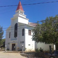
Sacred Heart Cathedral, Maliana
271.3 km
Fort Balibo
252.2 km
Reduto do Conselheiro Jacinto Cândido
244.2 km
Fort Solor
21.8 km
Fort Concordia
193.9 km
Igreja de Nossa Senhora do Rosário, Pante Macassar
187.2 km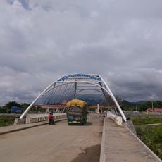
Mota'ain Bridge
242.1 kmReviews
Visited this place? Tap the stars to rate it and share your experience / photos with the community! Try now! You can cancel it anytime.
Discover hidden gems everywhere you go!
From secret cafés to breathtaking viewpoints, skip the crowded tourist spots and find places that match your style. Our app makes it easy with voice search, smart filtering, route optimization, and insider tips from travelers worldwide. Download now for the complete mobile experience.

A unique approach to discovering new places❞
— Le Figaro
All the places worth exploring❞
— France Info
A tailor-made excursion in just a few clicks❞
— 20 Minutes