
Sanana, district in Sula Islands Regency, North Maluku Province, Indonesia
Location: Sula Islands
Elevation above the sea: 313 m
GPS coordinates: -2.20000,125.91667
Latest update: March 19, 2025 06:41
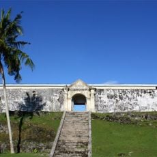
Fort Duurstede
341.2 km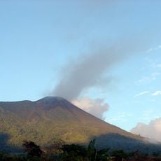
Gamalama
370.3 km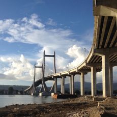
Red-White Bridge
301.4 km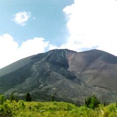
Gunung Soputanpatepangan
391.4 km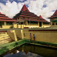
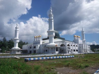
Sultan of Ternate Mosque
371.7 km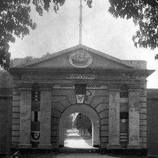
Fort of Our Lady of the Annunciation
301.7 km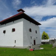
Fort Amsterdam
285.8 km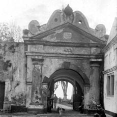
Fort Oranje
371.2 km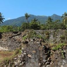
Fort Kastella
364.4 km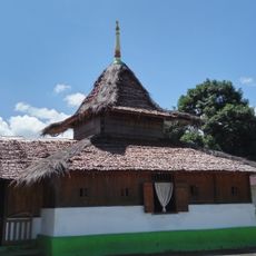
Wapauwe Old Mosque
286.1 km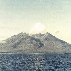
Makian
324.9 km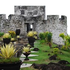
Fort Tolukko
373.3 km
Bogani Nani Wartabone National Park
395.5 km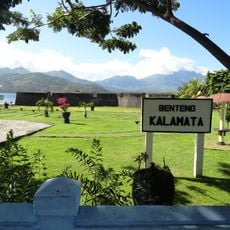
Fort Kalamata
367.5 km
Amasing Hill
255.8 km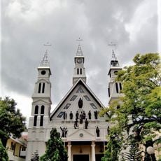
St. Francis Xavier Cathedral, Ambon
302.4 km
Pantai Indah Modisi
338 km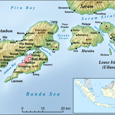
Pattimura Stadium
302.8 km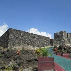
Fort Tidore
360.3 km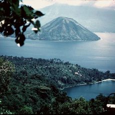
Maitara
362.6 km
Gereja GMIBM Efrata Modisi
338 km
Bulud Kanari
338.4 km
Taman Nasional Hutan Mangrove
337.6 km
Modisi Beach
338.6 km
Fort De Verwachting
17.6 km
Gereja GPDI Modisi
338.1 km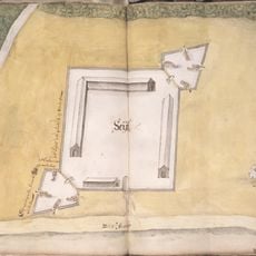
Fort Ceith
281.3 km
Fort Mariecque
357.9 kmVisited this place? Tap the stars to rate it and share your experience / photos with the community! Try now! You can cancel it anytime.
Discover hidden gems everywhere you go!
From secret cafés to breathtaking viewpoints, skip the crowded tourist spots and find places that match your style. Our app makes it easy with voice search, smart filtering, route optimization, and insider tips from travelers worldwide. Download now for the complete mobile experience.

A unique approach to discovering new places❞
— Le Figaro
All the places worth exploring❞
— France Info
A tailor-made excursion in just a few clicks❞
— 20 Minutes