
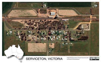
Serviceton, town in Victoria, Australia
Location: Shire of West Wimmera
GPS coordinates: -36.40223,141.02215
Latest update: April 4, 2025 22:53
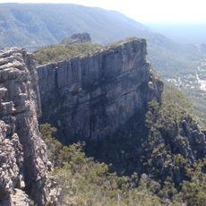
Grampians National Park
152.1 km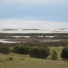
Coorong National Park
137.6 km
Coonawarra
100.2 km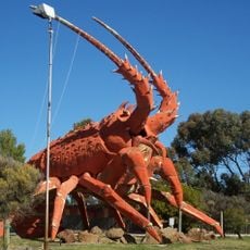
The Big Lobster
113.7 km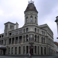
Grampians
158.3 km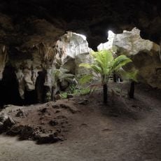
Naracoorte Caves National Park
73.4 km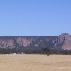
Mount Arapiles
82.5 km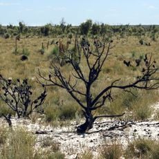
Little Desert National Park
42.6 km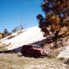
Wyperfeld National Park
113.8 km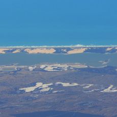
Younghusband Peninsula
143.9 km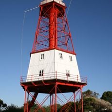
Cape Jaffa Lighthouse
115.6 km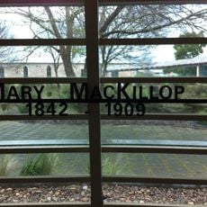
Mary MacKillop Interpretive Centre
110 km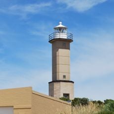
Cape Martin Lighthouse
150.7 km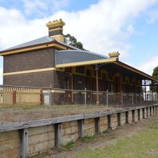
Casterton railway station
135.9 km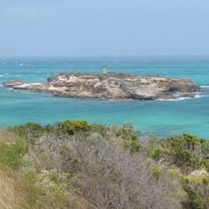
Penguin Island Lighthouse
151.4 km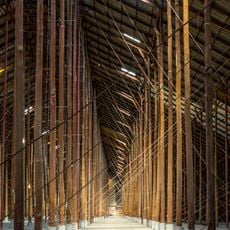
Murtoa Stick Shed
132.6 km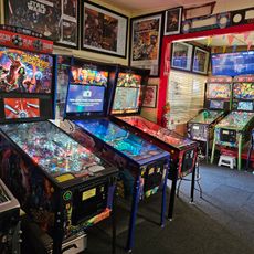
Australian Pinball Museum
58.4 km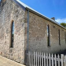
Mary MacKillop Penola Centre
110 km
Horsham botanic gardens
110.4 km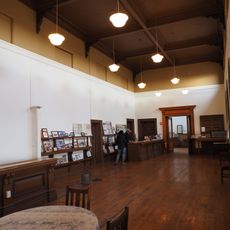
Serviceton Historical Station
4.3 km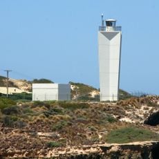
Robe Lighthouse
142 km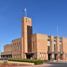
Warracknabeal Town Hall
124.3 km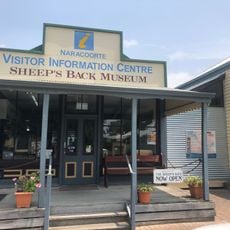
The Sheep's Back Museum
66.7 km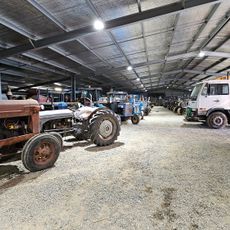
Woods' Farming and Heritage Museum
145.7 km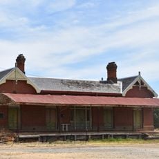
Rupanyup railway station
146.3 km
Soldiers and Citizens Memorial Hall and Municipal Chambers
91.3 km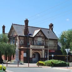
Warracknabeal Post Office
124.2 km
Kaniva railway station
19.9 kmReviews
Visited this place? Tap the stars to rate it and share your experience / photos with the community! Try now! You can cancel it anytime.
Discover hidden gems everywhere you go!
From secret cafés to breathtaking viewpoints, skip the crowded tourist spots and find places that match your style. Our app makes it easy with voice search, smart filtering, route optimization, and insider tips from travelers worldwide. Download now for the complete mobile experience.

A unique approach to discovering new places❞
— Le Figaro
All the places worth exploring❞
— France Info
A tailor-made excursion in just a few clicks❞
— 20 Minutes