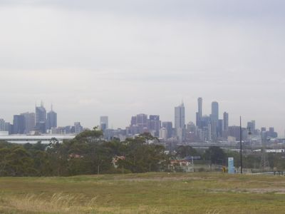
City of Maribyrnong, Local government area in western Melbourne, Australia
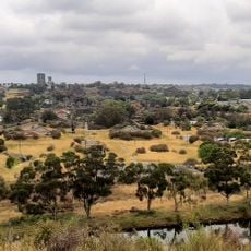
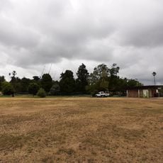
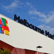
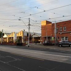
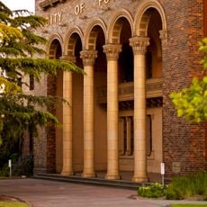
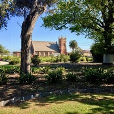
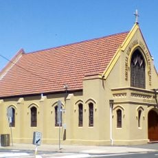
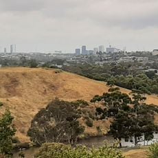
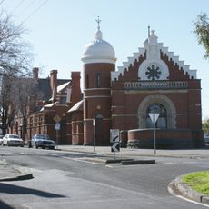
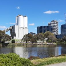
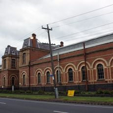
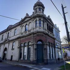
The City of Maribyrnong is an administrative area west of Melbourne that spreads across several neighborhoods and is bordered by the Maribyrnong River. The area includes residential districts, business zones, and major educational institutions.
The area took its current form in 1994 when two separate local councils merged to create a new administrative structure. This combination brought several communities together under shared governance.
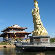
The area is shaped by people from many countries who bring their languages and traditions into the streets and community spaces. This diversity shows itself every day in local shops, restaurants, and the way neighbors interact.
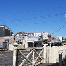
The best time to visit is during the day when shops and facilities are open and public spaces feel active. The area is easy to reach by public transport and walkable to explore on foot.
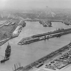
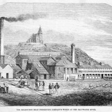
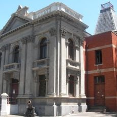
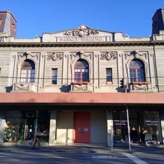
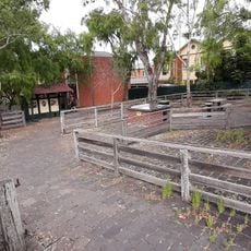
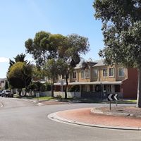
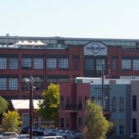
Old factory buildings in the area have been converted into residential neighborhoods while keeping the original structures as reminders of the industrial past. This blend of new and old shapes the character of many streets today.
Location: Victoria
Location: Melbourne
Inception: 1994
Capital city: Footscray
Elevation above the sea: 39 m
Shares border with: City of Brimbank, City of Moonee Valley, City of Melbourne, City of Hobsons Bay
Website: http://maribyrnong.vic.gov.au
GPS coordinates: -37.80000,144.90000
Latest update: December 7, 2025 20:26
West Gate Bridge
3.3 km
Flemington Racecourse
1.7 km
Scienceworks
3.5 km
Melbourne Showgrounds
2.1 km
Heavenly Queen Temple
1.3 km
Scienceworks (Museums Victoria)
3.6 km
Defence Explosive Factory Maribyrnong
4.4 km
Knights Stadium
6.4 km
Footscray Park
735 m
Victoria Dock
2.1 km
Melbourne Markets
2.3 km
Essendon tram depot
3.6 km
Pipemakers Park
2.6 km
Footscray Town Hall
520 m
Melbourne's Living Museum of the West
2.8 km
Saltwater River Rail Bridge
1.5 km
H.V. McKay Memorial Gardens
6.6 km
St. Prophet Ilija Macedonian Orthodox Church, Footscray
848 m
Kensington Town Hall
2.8 km
Afton Street Conservation Reserve
5 km
St Monica's Church of Footscray
589 m
Flemington Court House
3.2 km
Barkly Theatre
402 m
Saltwater River Crossing Site and Footscray Wharves Precinct
721 m
Interlocking Railway Crossing Gates
2 km
Former Newmarket Saleyards and Abattoirs
2.6 km
Spotswood Pumping Station
3.6 km
Former Kensington Property Exchange, Office, Shop and Residences
2.7 kmVisited this place? Tap the stars to rate it and share your experience / photos with the community! Try now! You can cancel it anytime.
Discover hidden gems everywhere you go!
From secret cafés to breathtaking viewpoints, skip the crowded tourist spots and find places that match your style. Our app makes it easy with voice search, smart filtering, route optimization, and insider tips from travelers worldwide. Download now for the complete mobile experience.
A unique approach to discovering new places❞
— Le Figaro
All the places worth exploring❞
— France Info
A tailor-made excursion in just a few clicks❞
— 20 Minutes