
Moorooduc, locality in Shire of Mornington Peninsula, Victoria, Australia
Location: Shire of Mornington Peninsula
Website: https://www.mornpen.vic.gov.au/
Website: https://mornpen.vic.gov.au
GPS coordinates: -38.24318,145.11535
Latest update: March 29, 2025 23:46
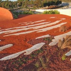
Royal Botanic Gardens, Cranbourne
19.3 km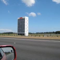
HOTEL
25 km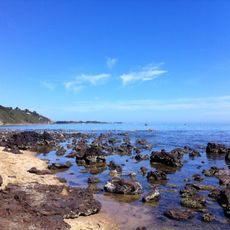
Sunnyside North Beach
6.7 km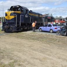
Mornington Railway
4.2 km
Moonlit Sanctuary Wildlife Conservation Park
12.3 km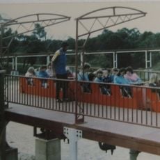
Leisureland Fair
11.7 km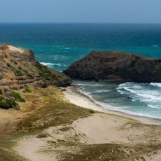
Mornington Peninsula National Park
27.9 km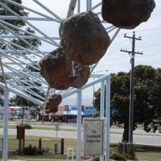
Cranbourne meteorite
22.7 km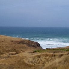
Mornington Peninsula
12.8 km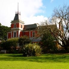
Coolart Wetlands and Homestead Reserve
16.1 km
Frankston Arts Centre
10.8 km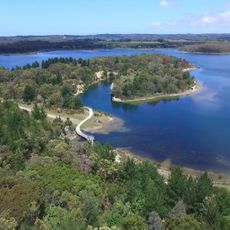
Devilbend Natural Features Reserve
5 km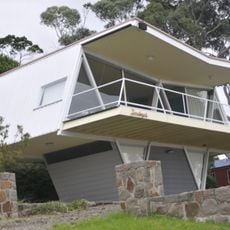
McCraith House
17.7 km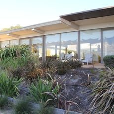
Simon House, Mount Eliza
9.1 km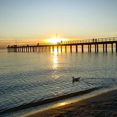
Seaford Beach
15.9 km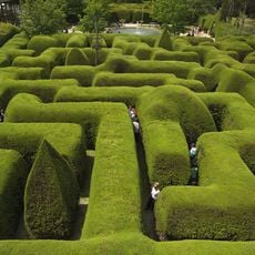
Aschombe Maze & Lavender Gardens
20 km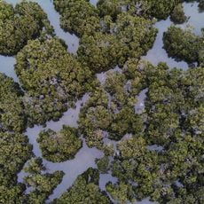
North Western Port Nature Conservation Reserve
15.2 km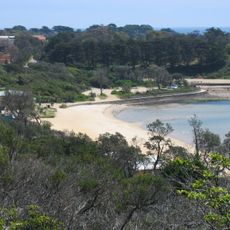
Mills Beach
7.1 km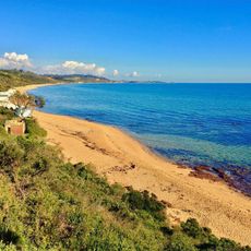
Moondah Beach
7.3 km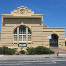
Chelsea Court House
21.2 km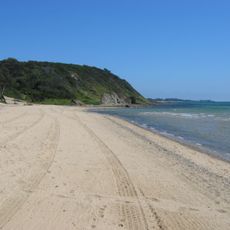
Sunnyside Beach
6.5 km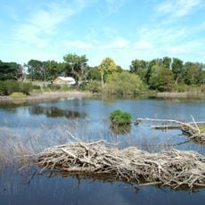
Coolart
16.1 km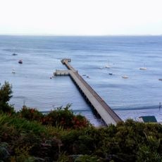
Former Jetty Cargo Sheds
27 km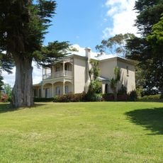
Harewood
27.8 km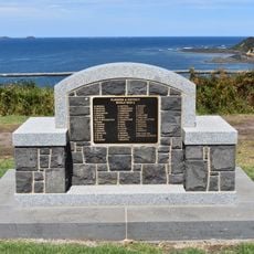
Flinders World War II Memorial
27 km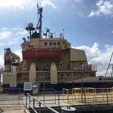
Dock
17.3 km
Buckley Nature Conservation Reserve
11 km
Flinders Beach
26.4 kmReviews
Visited this place? Tap the stars to rate it and share your experience / photos with the community! Try now! You can cancel it anytime.
Discover hidden gems everywhere you go!
From secret cafés to breathtaking viewpoints, skip the crowded tourist spots and find places that match your style. Our app makes it easy with voice search, smart filtering, route optimization, and insider tips from travelers worldwide. Download now for the complete mobile experience.

A unique approach to discovering new places❞
— Le Figaro
All the places worth exploring❞
— France Info
A tailor-made excursion in just a few clicks❞
— 20 Minutes