Enable Location

We need your location to show you interesting places around you

Discover nearby places

Find interesting locations and hidden gems around you

Precise directions

Get accurate directions and distances to places

Your location is never shared with other users. It's only used when you tap the location button.

Rowville

Log in to your account

Start exploring — it's free

Trusted by 62,157 travelers worldwide

Continue with Google
Continue with Apple
or

We will send you a code to connect

By continuing, you accept our Terms and Conditions and our Privacy Policy

Check your inbox

We've sent a pincode in your inbox. Please enter the code below.

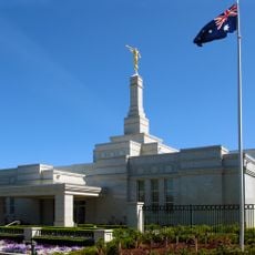
Rowville, Administrative division in Victoria, Australia

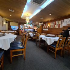
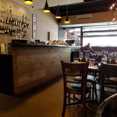
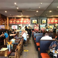
Rowville is a suburb located southeast of Melbourne in Victoria, spreading across residential neighborhoods, commercial zones, and shopping centers. The area functions as a residential community with schools, local services, and amenities that support daily life for thousands of inhabitants.

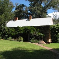
The area began in 1882 when the Row family owned land called Stamford Park, which eventually gave the location its name. This early settlement formed the foundation for the suburb's later development and expansion.

The Stringybark Festival brings together residents annually, while numerous sports clubs and scout groups maintain strong community connections throughout the administrative area.

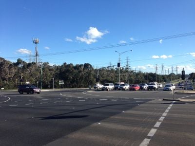
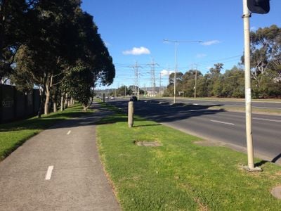
The suburb connects to Melbourne through public transportation and offers easy access to schools and local shopping options. Visitors can explore different residential and commercial zones that spread across the area with straightforward navigation.

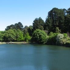
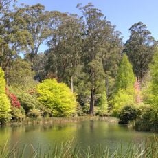
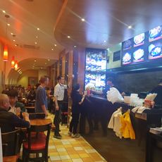
Stud Park Shopping Centre, Wellington Village, and Rowville Lakes form three distinct commercial hubs that serve different sections of this administrative division.

The community of curious travelers

AroundUs brings together thousands of curated places, local tips, and hidden gems, enriched daily by 60,000 contributors worldwide.

Start exploring
Location
Location
Elevation above the sea
73 m
Shares border with
Mulgrave, Ferntree Gully, Lysterfield, Knoxfield, Wheelers Hill, Endeavour Hills, Lysterfield South, Scoresby, Dandenong North
GPS coordinates
-37.93700,145.22900
Latest update
December 7, 2025 19:22
« Rowville - Administrative division in Victoria, Australia » is provided by Around Us (aroundus.com). Images and texts are derived from Wikimedia project under a Creative Commons license. You are allowed to copy, distribute, and modify copies of this page, under the conditions set by the license, as long as this note is clearly visible.

Discover hidden gems everywhere you go!

From secret cafés to breathtaking viewpoints, skip the crowded tourist spots and find places that match your style. Our app makes it easy with voice search, smart filtering, route optimization, and insider tips from travelers worldwide. Download now for the complete mobile experience.

Around Us App Screenshot

A unique approach to discovering new places

Le Figaro

All the places worth exploring

France Info

A tailor-made excursion in just a few clicks

20 Minutes

Around Us
Travel Guide & Maps
Download

Send to your phone

QR Code
1

Open the camera app on your mobile.

2

Point at the QR code with your camera. A notification will appear.

3

Tap the notification to open the link.