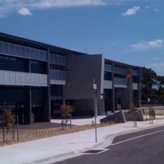
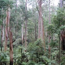
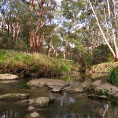
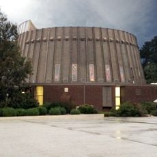
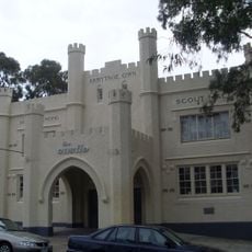
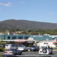
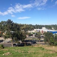
City of Knox, Local government area in eastern Melbourne, Australia.
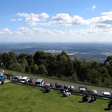
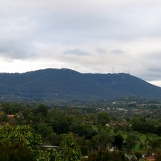
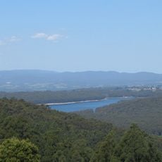
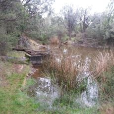
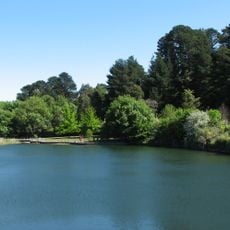
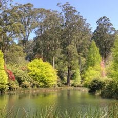
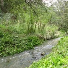
City of Knox is a local government area spanning eastern Melbourne and covering suburbs like Bayswater, Boronia, and Ferntree Gully across its territory. The region encompasses multiple residential communities that form a significant portion of the city's outer eastern zone.
The area formed as Shire of Knox in 1963 from parts of the former Berwick Shire and achieved city status six years later. The region remained independent through major local government changes in the 1990s when many councils underwent restructuring.
The region maintains strong connections to its namesake Sir George Hodges Knox through the municipal crest, which features his family motto Move and Prosper.
The area is divided into nine wards, each governed by an elected councillor serving four-year terms. This structure helps organize local services and community representation across different neighborhoods.
Knox survived the 1994 Victorian municipal amalgamations, expanding its territory to include Upper Ferntree Gully and sections of Lysterfield from Sherbrooke Shire.
Location: Victoria
Location: Melbourne
Capital city: Wantirna South
Elevation above the sea: 76 m
Shares border with: City of Monash, City of Whitehorse, City of Maroondah, Yarra Ranges Shire, City of Casey, City of Greater Dandenong
Website: http://knox.vic.gov.au
GPS coordinates: -37.88333,145.21667
Latest update: December 7, 2025 20:21
Puffing Billy Railway
12.6 km
Waverley Park
5.3 km
John Monash Science School
8.4 km
Dandenong Ranges National Park
15.5 km
Wobbies World
5.6 km
State Basketball Centre
531 m
Sherbrooke Forest
12.9 km
Mullum Mullum Creek
10.7 km
SkyHigh Mount Dandenong
13.4 km
Mount Dandenong
13.5 km
Silvan Reservoir
18.4 km
Melbourne Australia Temple
1.7 km
Churchill National Park
8.5 km
Wilson Botanic Park
19.1 km
National Rhododendron Garden
13.8 km
Andersons Creek
13.3 km
Schwerkolt Cottage
8 km
Albanian Mosque, Dandenong
12.4 km
Box Hill Town Hall
10.6 km
Haileybury Chapel
13.9 km
Athan House
16.5 km
Bushy Park Wetlands
2.8 km
St. Dimitrija Solunski Macedonian Orthodox Church, Springvale
7.2 km
Ringwood Library: Edmond and Corrigan
7.8 km
UnitingCare Connections
17.4 km
Puffing Billy Railway Menzies Creek Museum
17 km
Religious Centre
7.9 km
1st Dandenong Scout Group Armytage Own Scout Hall
10.9 kmVisited this place? Tap the stars to rate it and share your experience / photos with the community! Try now! You can cancel it anytime.
Discover hidden gems everywhere you go!
From secret cafés to breathtaking viewpoints, skip the crowded tourist spots and find places that match your style. Our app makes it easy with voice search, smart filtering, route optimization, and insider tips from travelers worldwide. Download now for the complete mobile experience.
A unique approach to discovering new places❞
— Le Figaro
All the places worth exploring❞
— France Info
A tailor-made excursion in just a few clicks❞
— 20 Minutes