Quamby Bluff, Mountain summit in Great Western Tiers, Australia
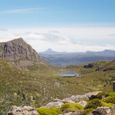
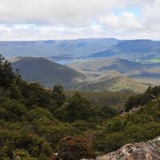
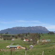
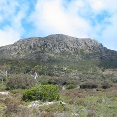
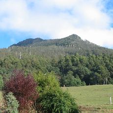
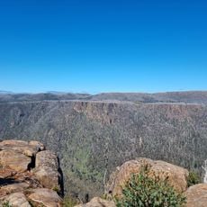
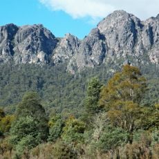
Quamby Bluff is a mountain summit in Tasmania's Great Western Tiers reaching about 1,227 meters (4,026 feet) in height. From the top, views extend across the Tasmanian landscape down to Bass Strait.
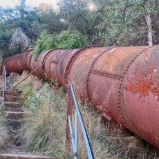
The Pallittorre Clan of Tasmania's Northern Nation were the original inhabitants; their name for the bluff was lartitickitheker. In July 1827, over 18 days, 100 Pallittorre people were killed by two soldiers of the 40th Regiment and four stockmen, in reprisal for the killing of three stockmen. Remains of a 1940s sawmill stand on the eastern slopes.
The name Quamby most likely comes from Tasmanian languages meaning "place of rest" or "good camping place"; other explanations point to Quarmby in Yorkshire or a Viking word for "mill farm". Daniel Bunce's 1859 memoir instead linked it to an incident in which an Aboriginal Tasmanian, facing a colonist's gun, called out "Quamby!", taken to mean "Spare me!". The North Midlands Nation knew the bluff as lartitickitheker.
The walk to the summit covers about 7 kilometers (4.3 miles) round trip and takes 3 to 5 hours with an elevation gain of around 523 meters (1,715 feet). The path crosses varied terrain, so sturdy footwear and plenty of water are important to bring.
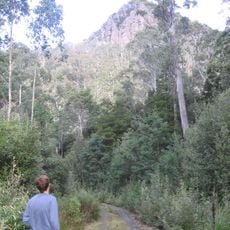
The walk passes through different forest types, from myrtle woodlands to boulder fields, before reaching a summit marked by a surveying point. This progression shows how the environment changes with altitude and makes the ecological variety of this mountain landscape apparent to visitors.
The community of curious travelers
AroundUs brings together thousands of curated places, local tips, and hidden gems, enriched daily by 94,018 contributors worldwide.