District of Tuggeranong, Administrative district in southeast Canberra, Australia.
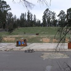
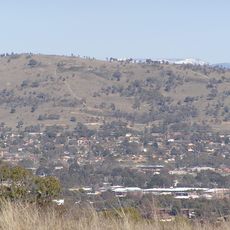
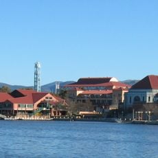
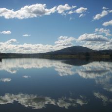
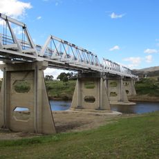
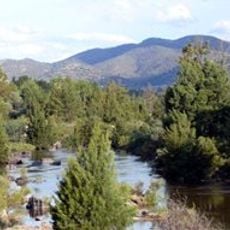
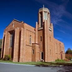
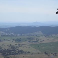
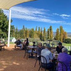
Tuggeranong is an administrative district in southeast Canberra composed of residential suburbs, commercial centers, and protected natural areas. The Murrumbidgee River runs through it, and the area includes lakes and parks for recreation.
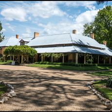
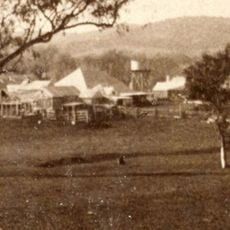
The first European settler received a land grant here in 1827, marking the beginning of European settlement. The modern district was planned and developed later as part of Canberra's expansion.
The district's name comes from the Ngunnawal language, reflecting its roots with the area's first inhabitants. You can trace this connection through the landscape and in how locals speak about their home.
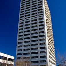
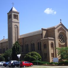
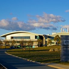
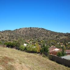
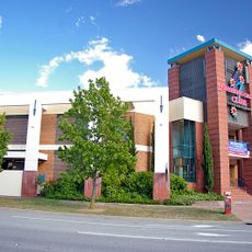
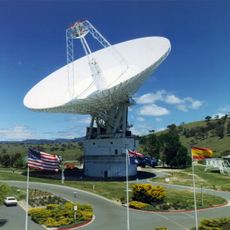
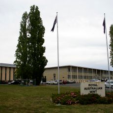
The district is well-equipped for visitors with shopping centers, government buildings, and recreation areas spread throughout. Plan time to explore the different zones, as the area covers a wide space.
The original planning in the 1970s anticipated a much larger population than currently lives here. This overestimated capacity still shapes the spacious layout you see today.
The community of curious travelers
AroundUs brings together thousands of curated places, local tips, and hidden gems, enriched daily by 60,000 contributors worldwide.