Mount Taylor, Mountain summit in Canberra, Australia
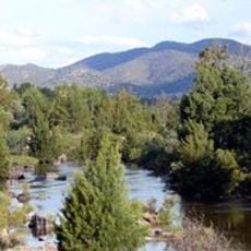
Mount Taylor rises 856 meters above sea level, positioned between Woden Valley and Tuggeranong Valley. Multiple walking trails wind through woodlands, offering different routes for visitors to explore the area.
Mount Taylor was first called Taylor's Hill, after James Taylor, a squatter who had huts near the site of Yarralumla homestead before 1829. Taylor was a son-in-law of Colonel George Johnston, who commanded the New South Wales Corps that deposed Governor William Bligh in the Rum Rebellion of 1808. The hill was renamed Mount Taylor in Canberra's early years.
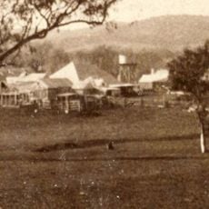
The Mount Taylor Park Care Group, formed in 1989, removes weeds, monitors the hill's bird population and leads guided walks in the reserve. Over 85 bird species have been recorded on the hill and nearby, and signs on the 2007 zig-zag track carry historic photos and wildlife information at each turn.
Four marked routes reach the summit, and no road does. The fire trail from the end of Waldock St, Chifley, has a car park and picnic tables and is the easiest, partly sealed on the steeper grades in 2009. The reinforced foot track from Sulwood Drive, Kambah, is longer and steeper, with rest benches and steps near the top. The zig-zag track on the north face, built in 2007, has signs with historic photos at each turn.
Mount Taylor holds one of the most significant known populations of the Pink-tailed Legless Lizard, Aprasia parapulchella, a nationally endangered species. The hill also shelters the endangered plant Small Purple-pea, Swainsona recta, and two endangered woodland and grassland communities. A park care group founded in 1989 removes weeds and monitors the birds, with over 85 species recorded on the hill and nearby.
The community of curious travelers
AroundUs brings together thousands of curated places, local tips, and hidden gems, enriched daily by 94,026 contributors worldwide.