
Currarong Rockshelters Area
Currarong Rockshelters Area, indigenous commonwealth heritage site in Currarong NSW
Location: New South Wales
Address: Currarong Rd, Currarong NSW
GPS coordinates: -35.02759,150.82077
Latest update: April 21, 2025 22:21
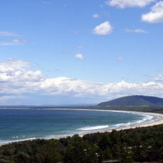
Seven Mile Beach
22.7 km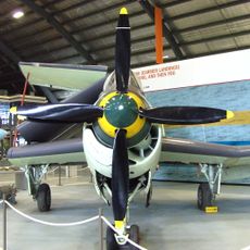
Fleet Air Arm Museum
26.3 km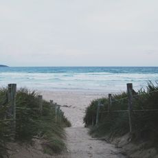
Booderee National Park
21.5 km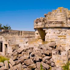
Cape St George Lighthouse
14.8 km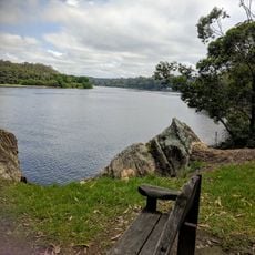
Nowra Wildlife Park
29 km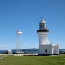
Point Perpendicular Light
7.6 km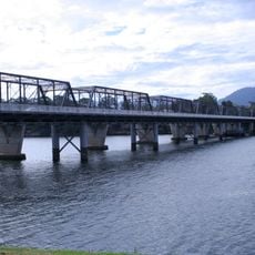
Nowra Bridge
27 km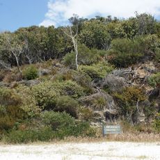
Jervis Bay National Park
10.6 km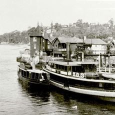
MV Lady Denman
14 km
Bomaderry Aboriginal Children's Home
27.8 km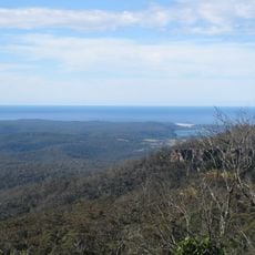
Conjola National Park
34.4 km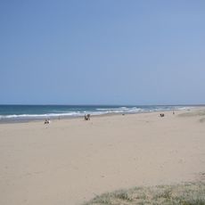
Seven Mile Beach National Park
24.6 km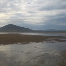
Coolangatta Mountain
22.6 km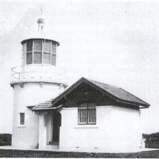
Crookhaven Heads Light
15 km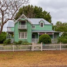
Meroogal
26.8 km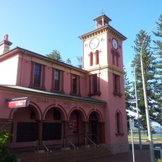
Kiama Post Office
39.7 km
Graham Lodge
26.7 km
CBC Bank Building, Kiama
39.7 km
Bherwerre Beach
25 km
Berry Museum
30.2 km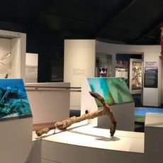
Maritime Museum
14 km
Bundanon Art Museum and the Bridge
34.8 km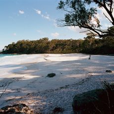
Greenfield Beach
13.5 km
Cape St George Lighthouse Ruins & Curtilage
14.9 km
Kiama Municipal Library
39.8 km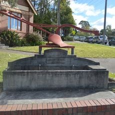
Horse trough
25.9 km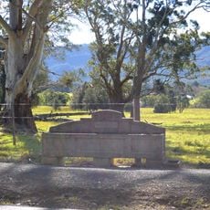
Horse trough
31.1 km
Hanging Rock Lookout
27.2 kmReviews
Visited this place? Tap the stars to rate it and share your experience / photos with the community! Try now! You can cancel it anytime.
Discover hidden gems everywhere you go!
From secret cafés to breathtaking viewpoints, skip the crowded tourist spots and find places that match your style. Our app makes it easy with voice search, smart filtering, route optimization, and insider tips from travelers worldwide. Download now for the complete mobile experience.

A unique approach to discovering new places❞
— Le Figaro
All the places worth exploring❞
— France Info
A tailor-made excursion in just a few clicks❞
— 20 Minutes