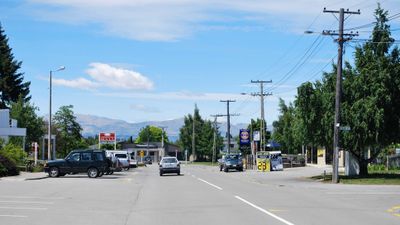
Twizel, town in New Zealand
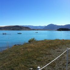
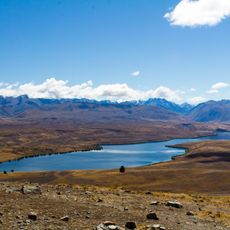
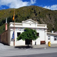
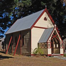
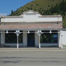
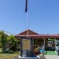
Twizel is a small town in the Mackenzie District on New Zealand's South Island, positioned at a crossroads where main roads lead toward alpine areas and national parks. The town center has local shops, cafes, and accommodations, with Christchurch roughly two hours away as the nearest larger city.
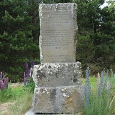
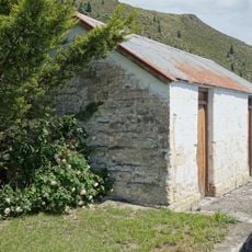
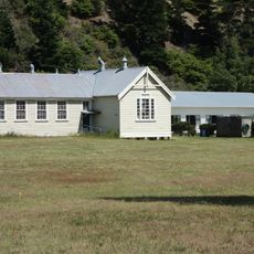
The settlement was established in the mid-1960s to house workers building the Lake Pukaki dam. After construction ended, the town did not decline but instead developed into a permanent community with its own infrastructure.
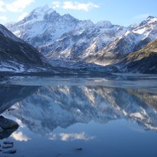
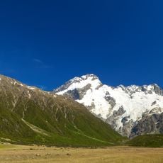
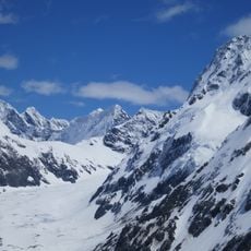
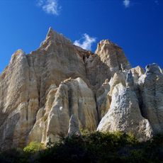
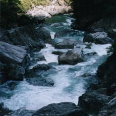
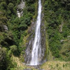
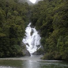
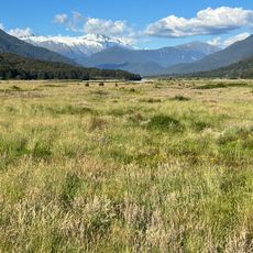
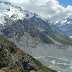
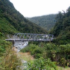
The town originated as a workers settlement and continues to shape how residents connect with the surrounding mountains and waterways today. Outdoor activities dominate daily life here, and the landscape remains central to how people identify with the place.
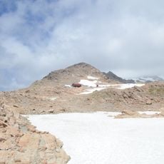
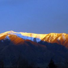
The town is best reached by car and sits on main routes to popular hiking areas and national parks in the region. Visitors should prepare for exposed mountain conditions and bring warm layers and proper equipment for outdoor activities.
The town was originally designed as a temporary settlement and was expected to disappear once the dam project finished. Instead it took permanent root, showing how remote workers' settlements can unexpectedly become lasting communities.
The community of curious travelers
AroundUs brings together thousands of curated places, local tips, and hidden gems, enriched daily by 60,000 contributors worldwide.